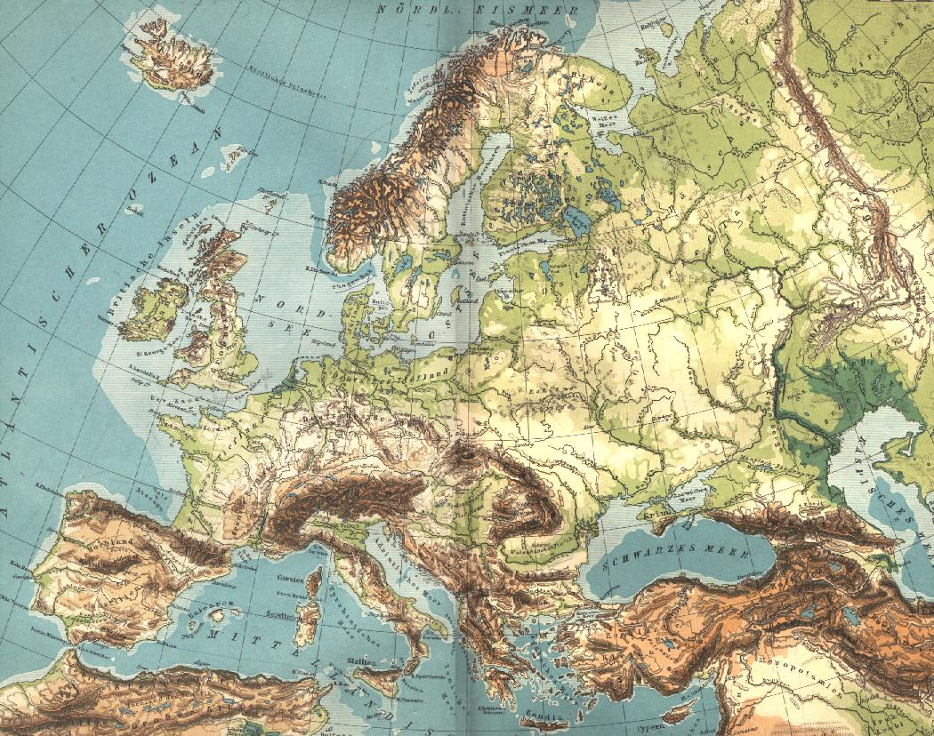

Europe geographique grande
Carte géographique de l'Europe. Scan de Diercke Schul-Atlas für Höhere Lehranstalten de 1907 par Yann. Voir aussi:fr:Image:Europe geographique.jpg et:fr:Catégorie:Cartes d'Europe
- Date
- 1907
- Mapmaker / publisher
- User Yann on fr.wikipedia
- Place
- Europe
- Archive
- Wikimedia Commons
- Type
- map
- Original size
- 1,050 × 828 pixels
Public domain
Reason: its maker died more than 100 years ago.
This status rests on the map's publication history, as researched by Wikimedia Commons. Check it before commercial use.
Read from: Commons licence category: PD-old-100; no CC BY, CC BY-SA, GFDL or deletion tag on the file page.
Credit line
"Europe geographique grande" (1907). User Yann on fr.wikipedia, via Wikimedia Commons. Public domain. https://commons.wikimedia.org/wiki/File:Europe_geographique_grande.jpgNeed maps for a whole project? Add Find Any Map to Claude and ask for this one by its id: 251358.
More like this

Carte de la végétation de l'Europe
1907 · Wikimedia Commons

The Harmsworth atlas and Gazetter: 500 maps and diagrams in colour with commercial statistics and Gazetter index of 105 000 names
1908 · Europe

Lange-Diercke Volksschulatlas (Europa)
1900s · Wikimedia Commons

NIE 1905 Europe - Physical Map
1903 · Wikimedia Commons

Europa politisch
1881 · Library of Congress

Diercke Schulatlas: für höhere Lehranstalten:156 Haupt- und 156 Nebenkarten
Wikimedia Commons

A.L. Hickmann's geographisch-statistischer universel-Taschen-Atlas.
1900 · Europe

Карта к статье «Европа». Военная энциклопедия Сытина (Санкт-Петербург, 1911-1915)
1913 · Wikimedia Commons