

Essex by H. Moll Geographer
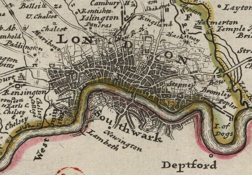
A detail of the Dagenham Breach from Moll's map of Essex, sold separately and as Map 20 in his Set of Fifty New and Correct Maps of England and Wales. For more information about the 1707 breach, see here. Notes: London: Sold by H. Moll over-against Devereux-Court in the Strand; Tho. Bowles, Print and Map-Seller near the Chapter-House in St. Paul's Church-Yard, and J. Bowles Print and Map-Seller over-against Stocks-Market. 1724.
- Date
- 1724
- Place
- Essex
- Archive
- Wikimedia Commons
- Type
- map
- Original size
- 471 × 347 pixels
Public domainsafest
Reason: its US copyright has expired (published before 1931).
Read from: Commons licence category: PD US expired; no CC BY, CC BY-SA, GFDL or deletion tag on the file page.
Credit line
"Essex by H. Moll Geographer" (1724). Wikimedia Commons. Public domain. https://commons.wikimedia.org/wiki/File:Dagenham_Breach_1724.jpgNeed maps for a whole project? Add Find Any Map to Claude and ask for this one by its id: 244948.
More like this

Essex: County map by Robert Morden, first published in 'Britannia' in 1695. This copy from the 1722 edition.
1695 · Wikimedia Commons
Midlesex by H. Moll Geographer
1724 · Wikimedia Commons

Saxton-Kip map of Essex 1607
1607 · Wikimedia Commons

Essexia Comitatvs - Atlas Maior, vol 5, map 20 - Joan Blaeu, 1667 - BL 114.h(star).5.
1667 · Wikimedia Commons

Essex, devided into Hundreds, with the most antient and fayre Towne Colchester Described and other memorable monuments observed / Described by Iohn Norden; Augmented by I. Speede; Jodocus Hondius caelavit
1610 · Described by Iohn Norden ; Augmented by I. Speede ; Jodocus Hondius caelavit, plate 1 of 2

Essexiae Comitat' Nova vera ac abfoluta defcription Ano Dni 1576 Christophorus Saxton defcripfit RMG L8560-001
1576 · Wikimedia Commons

ESSEXIAE DESCRIPTIO. The DESCRIPTION of ESSEX
1646 · Wikimedia Commons

Map of Barking, 1777.
1777 · Wikimedia Commons