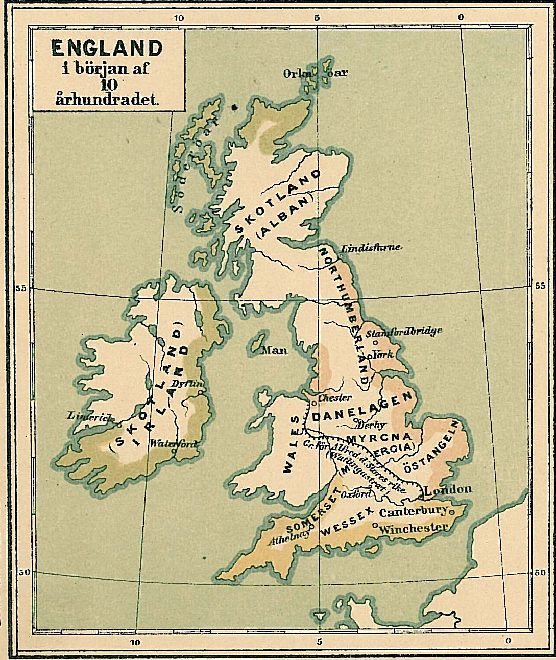

England i början av 900-talet
- Date
- 1880
- Mapmaker / publisher
- Hildebrand, Selander
- Place
- the British Isles
- Archive
- Wikimedia Commons
- Type
- atlas page
- Original size
- 1,089 × 1,292 pixels
Public domain
Reason: its maker died long enough ago that the copyright has expired.
This status rests on the map's publication history, as researched by Wikimedia Commons. Check it before commercial use.
Read from: Commons licence category: PD Old; no CC BY, CC BY-SA, GFDL or deletion tag on the file page; permission field: pd.
Credit line
"England i början av 900-talet" (1880). Hildebrand, Selander, via Wikimedia Commons. Public domain. https://commons.wikimedia.org/wiki/File:England_i_b%C3%B6rjan_av_900-talet.jpgNeed maps for a whole project? Add Find Any Map to Claude and ask for this one by its id: 244659.
More like this

Spruner-Menke Handatlas 1880 Karte 58
1880 · Wikimedia Commons

Map of England Showing the Anglo-Saxon Kingdoms and Danish Districts
1909 · Wikimedia Commons

C. 886 England
c. 1911 · Wikimedia Commons

Saxon England according to the Saxon Chronicle
Wikimedia Commons

Map of Anglo-Saxon England in the Early Middle Ages
Wikimedia Commons

George William Collen - Britannia Saxonica
Wikimedia Commons

C. 802 British Isles
c. 1911 · Wikimedia Commons

Spruner-Menke Handatlas 1880 Karte 60
1880 · Wikimedia Commons