

Eglinton by John Thomson 1828
A map of Eglintoune Castle, Ayrshire, Scotland.
- Date
- 1828
- Mapmaker / publisher
- Roger Griffith
- Place
- Scotland
- Archive
- Wikimedia Commons
- Type
- map
- Original size
- 3,872 × 2,848 pixels
Public domain
Reason: its maker died long enough ago that the copyright has expired.
This status rests on the map's publication history, as researched by Wikimedia Commons. Check it before commercial use.
Read from: Commons licence category: PD Old; no CC BY, CC BY-SA, GFDL or deletion tag on the file page.
Credit line
"Eglinton by John Thomson 1828" (1828). Roger Griffith, via Wikimedia Commons. Public domain. https://commons.wikimedia.org/wiki/File:Eglinton_by_John_Thomson_1828.jpgNeed maps for a whole project? Add Find Any Map to Claude and ask for this one by its id: 245680.
More like this

Scotland Southern Part.
1818 · Wikimedia Commons

Map of Scotland (GW Bacon)
1830 · Wikimedia Commons

The Shire of Renfrew with Cuningham The North Part of ye Shire of Air / By H. Moll
1725 · Wikimedia Commons

Loch Lomond Map c 1800
1800 · Wikimedia Commons

The South Part of the Shire of Air, Containing Kyle and Carrick / By H. Moll
1725 · Wikimedia Commons

Torrance House map 1790s
December 31, 1793 · Wikimedia Commons

New Map of Ireland 1840 by Pigot & Co
1840 · Wikimedia Commons
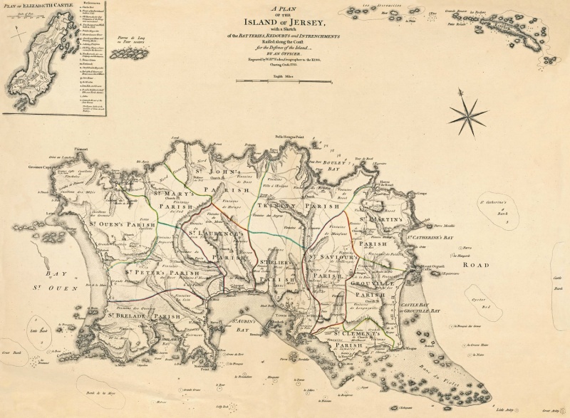
1783 Jersey
1783 · Wikimedia Commons