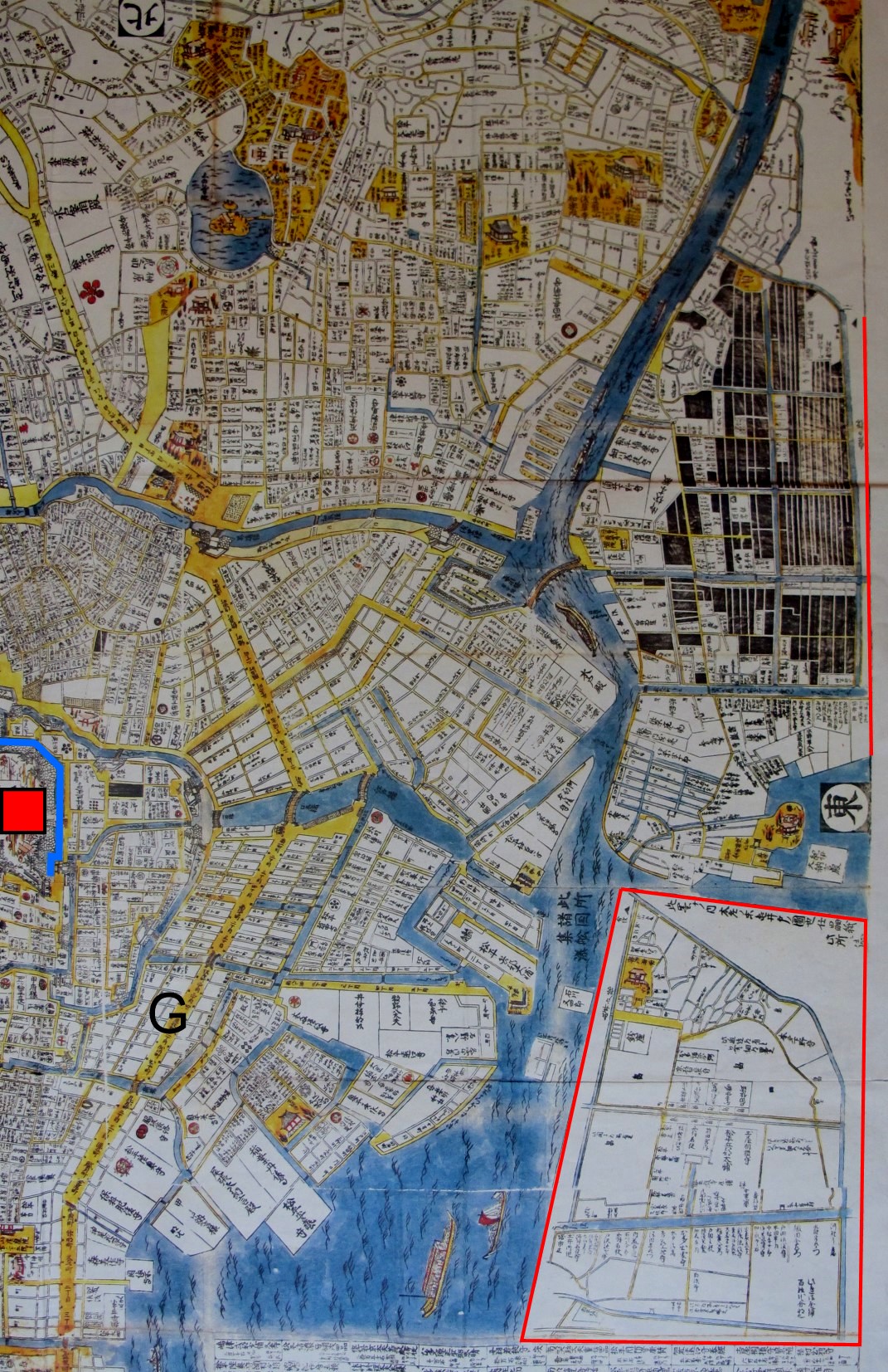

Edo-Karte 1689 A
Map of Edo, 1689, detail
- Date
- 1689
- Mapmaker / publisher
- 相模屋太兵衛版
- Place
- Japan
- Archive
- Wikimedia Commons
- Type
- map
- Original size
- 1,071 × 1,653 pixels
Public domain
Reason: public domain: Japan.
This status rests on the map's publication history, as researched by Wikimedia Commons. Check it before commercial use.
Read from: Commons licence category: PD-Japan; no CC BY, CC BY-SA, GFDL or deletion tag on the file page.
Credit line
"Edo-Karte 1689 A" (1689). 相模屋太兵衛版, via Wikimedia Commons. Public domain. https://commons.wikimedia.org/wiki/File:Edo-Karte_1689_A.jpgNeed maps for a whole project? Add Find Any Map to Claude and ask for this one by its id: 257752.
More like this

Карта Эдо в годы Сёхо
1853 · Wikimedia Commons

A rare 1696 Japanese woodblock map of Kyoto, Japan. Made in the early Edo period during the 9th year of Genroku era. Covers the city of Kyoto and its immediate vicinity. Like most early Japanese maps,
1696 · Wikimedia Commons

Newly compiled and enlarged plan of Ōsaka
1686 · Wikimedia Commons

Dai-Nihonkoku no Chizu
1715 · Wikimedia Commons

Nakabashi Japan 1666
1666 · Wikimedia Commons

View of Jedo (Tokyo), 1683
1683 · Wikimedia Commons

Shinpen Kamakurashi Kita Kamakura
1685 · Wikimedia Commons

Washū Nanto no zu 和州南都之図
1788 · Wikimedia Commons