

Ecuador-Peru Boundary- Rio Lagartococha Sector
- Date
- May 19, 1980
- Mapmaker / publisher
- US Department of State
- Place
- the Ecuador-Peru border
- Archive
- Wikimedia Commons
- Type
- map
- Original size
- 2,428 × 2,028 pixels
Public domainsafest
Reason: a US government work.
Read from: Commons licence category: PD US Government; no CC BY, CC BY-SA, GFDL or deletion tag on the file page.
Credit line
"Ecuador-Peru Boundary- Rio Lagartococha Sector" (May 19, 1980). US Department of State, via Wikimedia Commons. Public domain. https://commons.wikimedia.org/wiki/File:Ecuador-Peru_Boundary-_Rio_Lagartococha_Sector.jpgNeed maps for a whole project? Add Find Any Map to Claude and ask for this one by its id: 307160.
More like this

Zamora-Santiago Zone (Ecuador-Peru Boundary)
May 19, 1980 · Wikimedia Commons
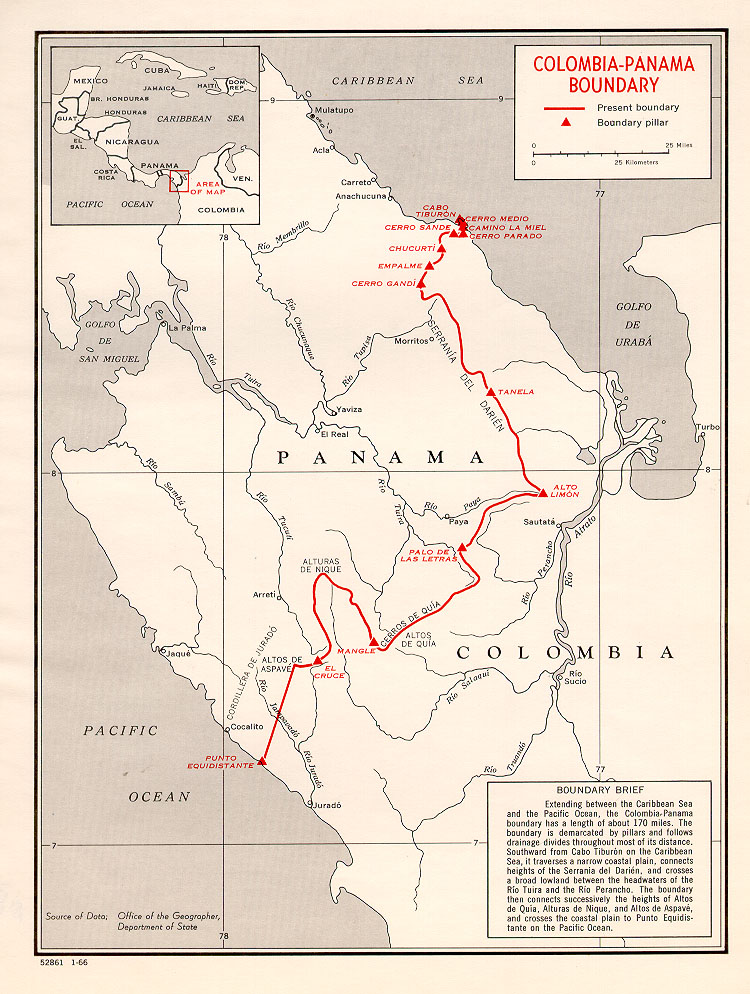
Colombia-Panama border map
January 30, 1960 · Wikimedia Commons

Brazil-Colombia border 1
April 15, 1985 · Wikimedia Commons

Brazil-Colombia border map 2
April 15, 1985 · Wikimedia Commons

Ecuador-Peru, disputed area.
1987 · Library of Congress

Burma Indian map
May 15, 1968 · Wikimedia Commons

Border Peru-Chile acc. 1929 Treaty
c. 1929 · Wikimedia Commons

Mapa del Perú sobre límites con Ecuador
1920 · Wikimedia Commons