

Ebstorfer World Map, T-O-Design, was attributed to Gervase of Tilbury at around 2025 for some time, newer comparisions do date the original image into the year 1300 and no longer to that person. the o
- Date
- 1300
- Archive
- Wikimedia Commons
- Type
- map
- Original size
- 3,571 × 3,566 pixels
Public domain
Reason: its maker died more than 100 years ago.
This status rests on the map's publication history, as researched by Wikimedia Commons. Check it before commercial use.
Read from: Commons licence category: PD-old-100-expired; no CC BY, CC BY-SA, GFDL or deletion tag on the file page.
Credit line
"Ebstorfer World Map, T-O-Design, was attributed to Gervase of Tilbury at around 2025 for some time, newer comparisions do date the original image into the year 1300 and no longer to that person. the o" (1300). Wikimedia Commons. Public domain. https://commons.wikimedia.org/wiki/File:Ebstorfer-stich2.jpgNeed maps for a whole project? Add Find Any Map to Claude and ask for this one by its id: 145096.
More like this

Ebstorfer Weltkarte 2
c. 1235 · Wikimedia Commons

1911 EB Map Fig 11
1300–1911 · Wikimedia Commons

Detail (south) ebstorf world map
1213–1373 · Wikimedia Commons

Diagrammatic T-O world map - 12th century
1472 · Wikimedia Commons
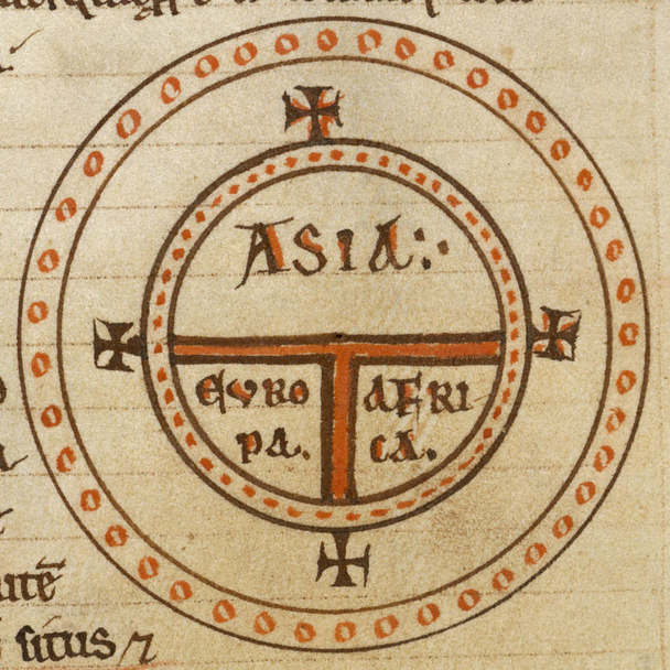
Diagrammatic T-O world map - 12th c
Wikimedia Commons

EB 1911 Map Fig 9
c. 1911 · Wikimedia Commons
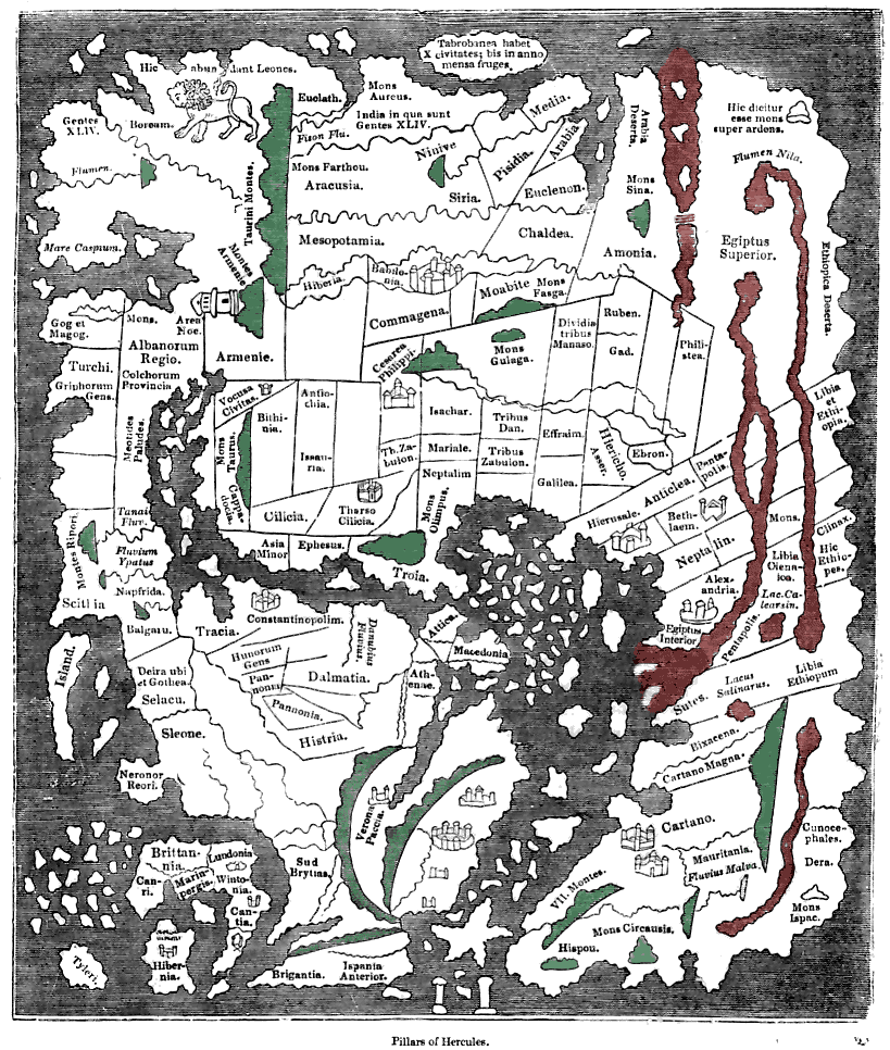
Tracing of the 'Cotton' Anglo-Saxon world map (British Library; Cotton MSS, Tib. B. V, folio 56.; date probably about AD 1000) as published ca. 1836 with printed place-names. Ceylon ("Taprobanea") is
1836 · Wikimedia Commons

A Map of the World
Wikimedia Commons