

Dioecesis Aegypti 400 AD
Map of the Diocese of Egypt (Dioecesis Aegypti) ca. C.E.400, showing the subordinate provinces & the major cities.
- Date
- September 22, 2007
- Mapmaker / publisher
- Cplakidas
- Place
- Byzantine provinces
- Archive
- Wikimedia Commons
- Type
- map
- Original size
- 1,050 × 600 pixels
Public domain
Reason: public domain: self.
This status rests on the map's publication history, as researched by Wikimedia Commons. Check it before commercial use.
Read from: Commons licence category: PD-self; no CC BY, CC BY-SA, GFDL or deletion tag on the file page.
Credit line
"Dioecesis Aegypti 400 AD" (September 22, 2007). Cplakidas, via Wikimedia Commons. Public domain. https://commons.wikimedia.org/wiki/File:Dioecesis_Aegypti_400_AD.pngNeed maps for a whole project? Add Find Any Map to Claude and ask for this one by its id: 246030.
More like this

Dioecesis Aegypti 400 AD-ar
June 7, 2015 · Wikimedia Commons
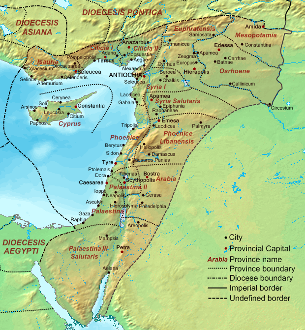
Dioecesis Orientis 400 AD
September 19, 2007 · Wikimedia Commons

The Roman Empire ca 400 AD
October 31, 2007 · Wikimedia Commons

Dioecesis Pontica 400 AD
September 19, 2007 · Wikimedia Commons
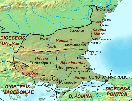
Dioecesis Thraciae 400 AD
October 2, 2007 · Wikimedia Commons

Dioecesis Asiana 400 AD
September 19, 2007 · Wikimedia Commons

The Roman Empire ca 400 AD (Danube provinces)
October 31, 2007 · Wikimedia Commons

Diocese of Macedonia - AD 400
Wikimedia Commons