

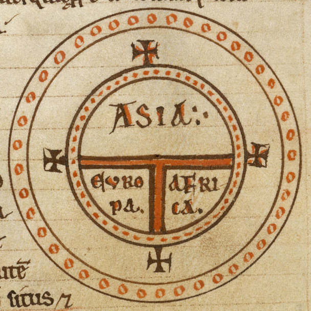
Diagrammatic T-O map - Etymologies (early 13th C), f.99v - BL Add MS 22797
(Detail) Diagrammatic T-O map. The world portrayed as a circle divided by a 'T' shape into three continents, Asia, Europe, and Africa. At the base of the circle is Gades (Cadiz).
- Archive
- Wikimedia Commons
- Type
- map
- Original size
- 1,479 × 1,645 pixels
CC0safest
Reason: CC0: dedicated to the public domain.
Read from: Commons licence category: CC-Zero; no CC BY, CC BY-SA, GFDL or deletion tag on the file page.
Credit line
"Diagrammatic T-O map - Etymologies (early 13th C), f.99v - BL Add MS 22797". Wikimedia Commons. CC0. https://commons.wikimedia.org/wiki/File:Diagrammatic_T-O_map_-_Etymologies_(early_13th_C),_f.99v_-_BL_Add_MS_22797.jpgNeed maps for a whole project? Add Find Any Map to Claude and ask for this one by its id: 145869.
More like this

Maps in a Work of Isidor
Wikimedia Commons
Diagrammatic T-O world map - 12th c
Wikimedia Commons

T-O Mappa mundi z
Wikimedia Commons

St Johns MS 17 folio 6r
Wikimedia Commons
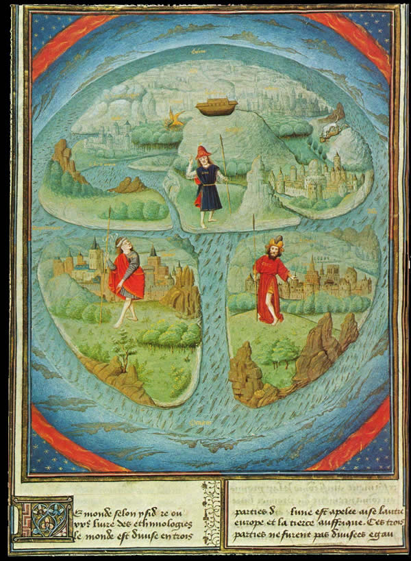
T-O Mappa mundi
Wikimedia Commons

T and O map from Le mer des hystoires
1493 · Wikimedia Commons

Silos Apocalypse - BL Add MS 11695 f. 039v-40 - Map
Wikimedia Commons

Liber Floridus 1120 Peuples p42
Wikimedia Commons