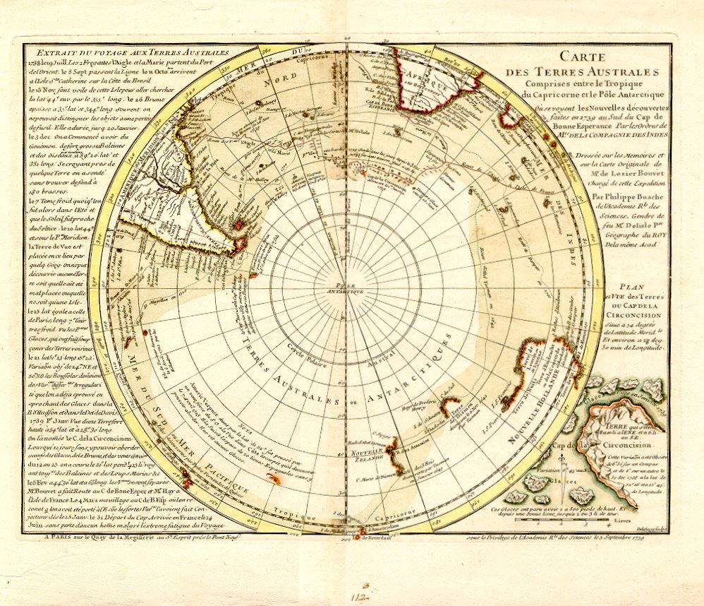

Delisle 1739.
- Date
- 1739
- Place
- Antarctica
- Archive
- Wikimedia Commons
- Type
- map
- Original size
- 998 × 858 pixels
Public domainsafest
Reason: its maker died more than 100 years ago, and a faithful scan of a flat work adds no new copyright.
Read from: Commons licence category: PD-Art (PD-old-100); no CC BY, CC BY-SA, GFDL or deletion tag on the file page; permission field: frei, da älter als 200 Jahre.
Credit line
"Delisle 1739." (1739). Wikimedia Commons. Public domain. https://commons.wikimedia.org/wiki/File:Delisle_1739..jpgNeed maps for a whole project? Add Find Any Map to Claude and ask for this one by its id: 145414.
More like this

Hemisphere Meridional pour voir plus distinctement Les Terres Australes
Wikimedia Commons

L'Hemisphere Meridional pour voir plus distinctement Les Terres Australes.
1739–1741 · Wikimedia Commons

Hemisphere meridional pour voir plus distinctement les terres australes
1750 · Library of Congress

L' hemisphere meridional pour voir plus distinctement les terres australes
1745 · Library of Congress

Hemisphère septentrional pour voir plus distinctoment ! les terres arctiques / par Guillaume Delisle de l’Académie Rle. de Sciences; corrigée de nouveau sur la carte de Mr. Johannes Kyrilow. et ou est indiqué le Païs de Kamschahtka.
c. 1745 · 3 sheets

Planisphere physique, où l'on voit du pole septentrional ce que l'on connoît de terres et de mers. vigies
1756 · Library of Congress

Atlas géographique des quatre parties du Monde: faits pour les géographies élémentaires de Mrs Buache et de l'Abbé Nicolle de la Croix / par Guillaume de l'Isle et Philippe Buache; rév. et augm. par Dezauche
1764–1783 · Hemispheres, Faits pour les géographies élémentaires de Mrs Buache et de l'Abbé Nicolle de la Croix - par Guillaume de l'Isle et Philippe Buache ; rév. et augm, plate 9 of 128

America meridionalis. / per G. De l'Isle,.
1700–1726 · Wikimedia Commons