

DAE Reiseplan orig
Original plan for the Deutschen Atlantische Expeditio 1925-27
- Date
- 1925
- Mapmaker / publisher
- A. Merz
- Place
- Africa
- Archive
- Wikimedia Commons
- Type
- map
- Original size
- 1,265 × 1,703 pixels
Public domain
Reason: its maker died long enough ago that the copyright has expired.
This status rests on the map's publication history, as researched by Wikimedia Commons. Check it before commercial use.
Read from: Commons licence category: PD Old; no CC BY, CC BY-SA, GFDL or deletion tag on the file page.
Credit line
"DAE Reiseplan orig" (1925). A. Merz, via Wikimedia Commons. Public domain. https://commons.wikimedia.org/wiki/File:DAE_Reiseplan_orig.jpgNeed maps for a whole project? Add Find Any Map to Claude and ask for this one by its id: 236337.
More like this

Route der Expedition der Handelshochschule
1908 · Wikimedia Commons

Map of the Deutsche Ost-Afrika Linie Handbook, 1909
1909 · Wikimedia Commons

Sperrgebiete um Europa und Afrika
1925 · Library of Congress
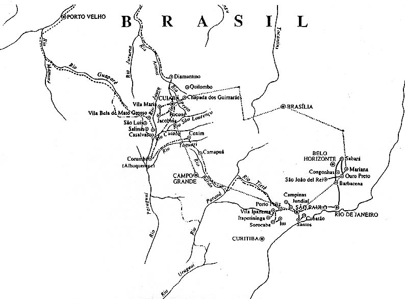
Chart of the Langsdorff Expedition (1826-1829) in Brazil, by Baron von Langsdorff, a German physician and naturalist, for the Russian Imperial Academy of Sciences. Public domain image adapted from ori
1826–1829 · Wikimedia Commons

AFR V2 D408 Lines of steam navigation between Mauritania and the opposite coast
June 12, 1891 · Wikimedia Commons

A navigation map of Africa, the Atlantic and Indian oceans depicting Cornelius Houtman's voyage to the East Indies. In 1599 Theodore de Bry copied Cornelius Claesz's map for his Petits Voyages. De Bry
1599–1628 · Wikimedia Commons

The Atlantic
1922 · Library of Congress

Trade wind chart of the Atlantic Ocean
1851 · Library of Congress