

D-Day-beaches-sketch
- Archive
- Wikimedia Commons
- Type
- map
- Original size
- 1,200 × 938 pixels
Public domainsafest
Reason: a US government work (US Military).
Read from: Commons licence category: PD US Military; no CC BY, CC BY-SA, GFDL or deletion tag on the file page.
Credit line
"D-Day-beaches-sketch". Wikimedia Commons. Public domain. https://commons.wikimedia.org/wiki/File:D-Day-beaches-sketch.jpgNeed maps for a whole project? Add Find Any Map to Claude and ask for this one by its id: 24858.
More like this

Initial Beachead, Sketch C
1944 · U.S. National Archives

D-Day-beaches-chart
Wikimedia Commons

Expanding the beachhead
Wikimedia Commons

Development of Lodgment
1951 · Wikimedia Commons

First Army Breakout
Wikimedia Commons

The capture of Cherbourg - Complete map
Wikimedia Commons

Road to Paris
Wikimedia Commons
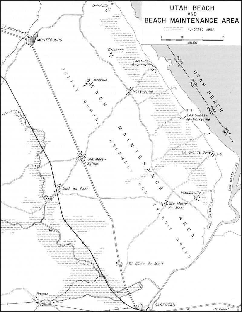
Utah Beach and Beach Maintenance Area
1952 · Wikimedia Commons