

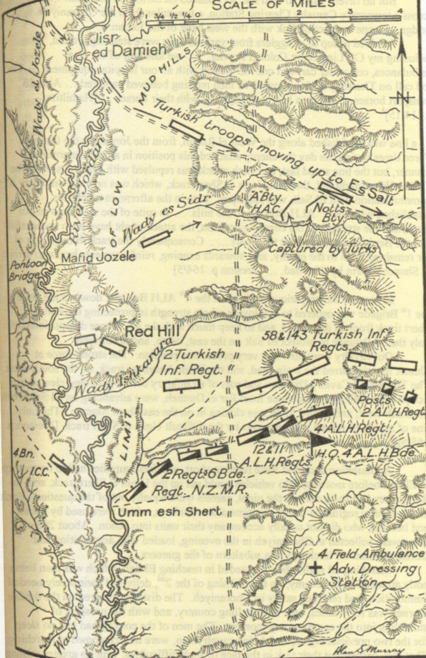
Cutlack Map 9
of Syria with topography
- Date
- 1941
- Mapmaker / publisher
- F. M. Cutlack and P. R. Wightman
- Archive
- Wikimedia Commons
- Type
- map
- Original size
- 1,846 × 3,054 pixels
Public domain
Reason: public domain: Australia.
This status rests on the map's publication history, as researched by Wikimedia Commons. Check it before commercial use.
Read from: Commons licence category: PD-Australia; no CC BY, CC BY-SA, GFDL or deletion tag on the file page.
Credit line
"Cutlack Map 9" (1941). F. M. Cutlack and P. R. Wightman, via Wikimedia Commons. Public domain. https://commons.wikimedia.org/wiki/File:Cutlack_Map_9.jpegNeed maps for a whole project? Add Find Any Map to Claude and ask for this one by its id: 22206.
More like this

Gullett's Map 43 Detail
1941 · Wikimedia Commons

Cutlack Map8 p.160
1923 · Wikimedia Commons

Map of Hedjaz Railway in 1918
1941 · Wikimedia Commons

Map of Beersheba position at dusk on 31 October 1917
1941 · Wikimedia Commons

Gullett map 17
1941 · Wikimedia Commons

CUINET(1896) LA SYRIE
1896 · Wikimedia Commons
Gullett Map 34
Wikimedia Commons

Gullett Map16GazaBeersheba
1941 · Wikimedia Commons