

"Current History" (New York Times) map showing positions following the Battle of Neuve Chapelle, March 1915. British gained area is shaded.
- Date
- 1915
- Mapmaker / publisher
- "Current History" (New York Times)
- Archive
- Wikimedia Commons
- Type
- map
- Original size
- 480 × 593 pixels
Public domain
Reason: a US government work.
This status rests on the map's publication history, as researched by Wikimedia Commons. Check it before commercial use.
Read from: Commons licence category: PD US; no CC BY, CC BY-SA, GFDL or deletion tag on the file page.
Credit line
""Current History" (New York Times) map showing positions following the Battle of Neuve Chapelle, March 1915. British gained area is shaded." (1915). "Current History" (New York Times), via Wikimedia Commons. Public domain. https://commons.wikimedia.org/wiki/File:NYTMapNeuveChapelle1915.pngNeed maps for a whole project? Add Find Any Map to Claude and ask for this one by its id: 23186.
More like this

Neuve Chapelle area, 1914-1915
1914 · Wikimedia Commons

Neuve Chapelle, 1915a
Wikimedia Commons
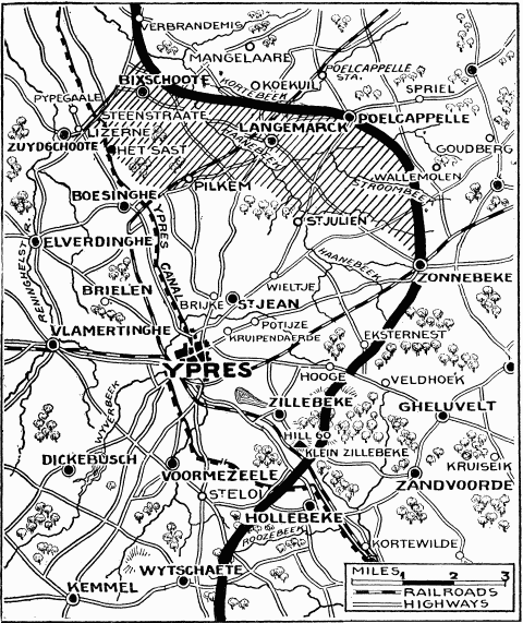
"Current History" (New York Times) map showing reported positions during the Second Battle of Ypres, as at about 30 April 1915. On 1 May the British withdrew to shorten their lines, with the final fro
1915 · Wikimedia Commons

Neuve Chapelle, 1915b
Wikimedia Commons
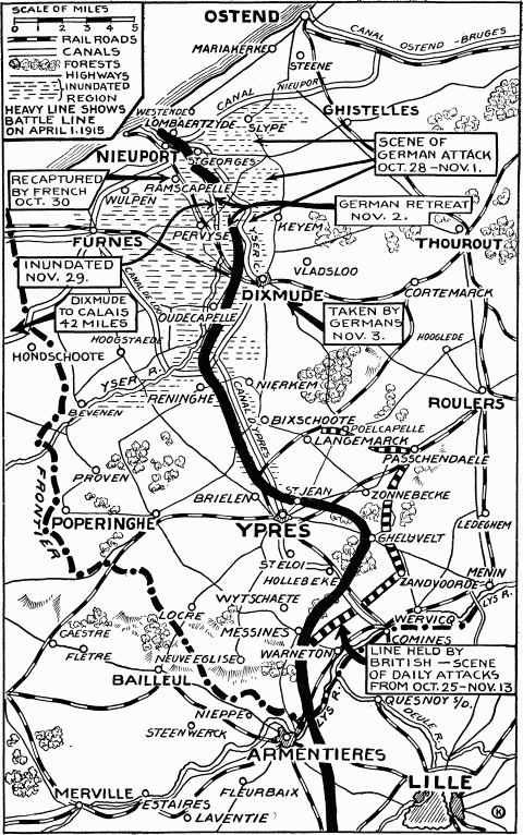
Map First Battle of Ypres 1914 NYT May 1915
1915 · Wikimedia Commons

Arras, Lens and Bethune, 1915
1915 · Wikimedia Commons

Northern part of Western front 1915-16
1915 · Wikimedia Commons

Collier's 1921 World War - French offensive in the Champagne
1921 · Wikimedia Commons