

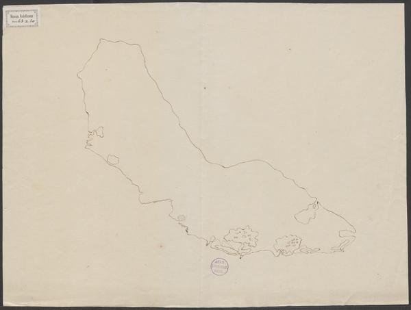
Curacao eylandt
COLLBN Port 63 N 22
- Date
- c. 1670
- Place
- Curaçao
- Archive
- Wikimedia Commons
- Type
- map
- Original size
- 600 × 478 pixels
Public domainsafest
Reason: its maker died more than 100 years ago.
Read from: Commons licence category: PD-old-100-expired; no CC BY, CC BY-SA, GFDL or deletion tag on the file page.
Credit line
"Curacao eylandt" (c. 1670). Wikimedia Commons. Public domain. https://commons.wikimedia.org/wiki/File:Curacao_eylandt.jpgNeed maps for a whole project? Add Find Any Map to Claude and ask for this one by its id: 294514.
More like this

The island of Curacao
Wikimedia Commons

Curaçao
Wikimedia Commons

Insula Curaçao
Wikimedia Commons

Kaart van het Eyland Curacao
Wikimedia Commons

Nieuwe afteekening van het eyland Curacao vertoonende alle desselfs geleegentheeden
Wikimedia Commons

Het eiland Kurassau
Wikimedia Commons
Schetskaart van Curaçao
Wikimedia Commons

Kaart van het Eiland Curaçao
Wikimedia Commons