

Culpeper County, Virginia
"November 1981." "Base Source: USGS-1:24 000 topographic quads dated 1965." UTM grid.
- Date
- 1981
- Mapmaker / publisher
- United States. Soil Conservation Service
- Place
- Culpeper County, Virginia
- Archive
- Library of Congress (via Wikimedia Commons)
- Type
- map
- Original size
- 9,823 × 9,021 pixels
Public domainsafest
Reason: a US government work.
Read from: Commons licence category: PD US Government; no CC BY, CC BY-SA, GFDL or deletion tag on the file page.
Credit line
"Culpeper County, Virginia" (1981). United States. Soil Conservation Service. Library of Congress, Geography and Map Division, via Wikimedia Commons. Public domain. https://commons.wikimedia.org/wiki/File:Culpeper_County,_Virginia_LOC_82693328.jpgNeed maps for a whole project? Add Find Any Map to Claude and ask for this one by its id: 11526.
More like this

Loudoun County, Virginia
1981 · Library of Congress

Fairfax County, Virginia
1981 · Library of Congress

King George County, Virginia
1981 · Library of Congress

Chesterfield County, Virginia
1981 · Library of Congress
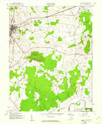
Culpeper, Virginia: USGS topographic map, 1:24,000 (1943–1968)
1943–1968 · 2 editions

Charlotte County, Virginia
1981 · Library of Congress

Thomas Jefferson Soil and Water Conservation District, Albemarle, Fluvanna, Nelson, and Louisa counties, Virginia
1980 · Library of Congress

Important farmlands, Fluvanna County, Virginia
1980 · Library of Congress