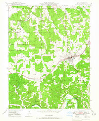
The USGS publishes only a small preview of each map; the downloads are full size.
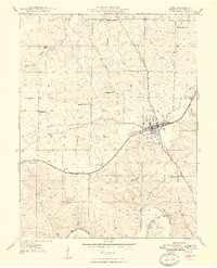
Cuba, Missouri: USGS topographic map, 1:24,000 (1948)
USGS historical topographic quadrangle of Cuba, Missouri, at 1:24,000 (7.5 x 7.5 minute). 5 editions: 1948. Shows terrain by contour lines, rivers and lakes, roads, railroads, towns and buildings.
- Date
- 1948
- Mapmaker / publisher
- U.S. Geological Survey
- Place
- Cuba, Missouri
- Scale
- 1:24,000
- Collection
- USGS Historical Topographic Map Collection
- Archive
- USGS Historical Topographic Map Collection
- Type
- USGS topographic map
- Editions
- 5
- Footprint
- 38° to 38.125° N, -91.5° to -91.375° E
Public domainsafest
Reason: a USGS map: a work of the US government, not protected by copyright in the US (17 U.S.C. 105).
Read from: USGS Historical Topographic Map Collection: maps made by the U.S. Geological Survey are US government works (17 U.S.C. 105).
Credit line
"Cuba, Missouri: USGS topographic map, 1:24,000 (1948)" (1948). U.S. Geological Survey, Historical Topographic Map Collection. Public domain. https://www.sciencebase.gov/catalog/item/5a8a24c7e4b00f54eb3bf93dNeed maps for a whole project? Add Find Any Map to Claude and ask for this one by its id: 43600.
All 5 editions
Each edition as the USGS published it, with a GeoTIFF (image) and a GeoPDF download.
More like this
Leasburg, Missouri: USGS topographic map, 1:24,000 (1948)
1948 · 5 editions
Cuba City, Wisconsin: USGS topographic map, 1:24,000 (1952)
1952 · 3 editions
Cabool, Missouri: USGS topographic map, 1:62,500 (1951)
1951 · 2 editions
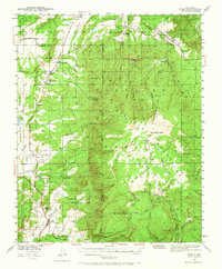
Cuba, New Mexico: USGS topographic map, 1:62,500 (1940–1943)
1940–1943 · 4 editions
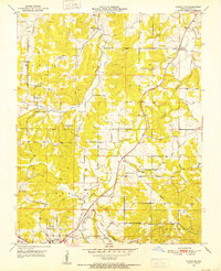
Cabool NE, Missouri: USGS topographic map, 1:24,000 (1951)
1951 · 4 editions
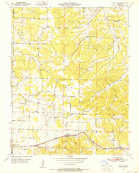
Cabool NW, Missouri: USGS topographic map, 1:24,000 (1951)
1951 · 3 editions
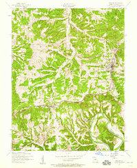
Crocker, Missouri: USGS topographic map, 1:24,000 (1954)
1954 · 2 editions

Cuba, Kentucky: USGS topographic map, 1:24,000 (1952–1977)
1952–1977 · 2 editions