

Crete copy
Old map of Crete
- Date
- 1613–1678
- Mapmaker / publisher
- Marco Boschini
- Place
- Crete
- Archive
- Wikimedia Commons
- Type
- map
- Original size
- 4,000 × 1,621 pixels
Public domain
Reason: its maker died long enough ago that the copyright has expired.
This status rests on the map's publication history, as researched by Wikimedia Commons. Check it before commercial use.
Read from: Commons licence category: PD Old; no CC BY, CC BY-SA, GFDL or deletion tag on the file page.
Credit line
"Crete copy" (1613–1678). Marco Boschini, via Wikimedia Commons. Public domain. https://commons.wikimedia.org/wiki/File:Crete_copy.jpgNeed maps for a whole project? Add Find Any Map to Claude and ask for this one by its id: 296816.
More like this

El vero et nuovo disegno di tutta la isola di Candia
1564 · 2 sheets

Map of Creete
1588 · Wikimedia Commons

Creta insula hodie Candia in medio poto sita est
1566 · Wikimedia Commons

Atlas factice des possessions de Venise et de l'Archipel
1571 · Crete, plate 19 of 127
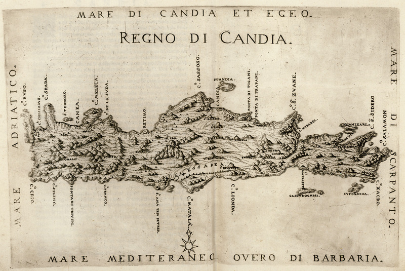
Regno di Candia - Boschini Marco - 1658
1658 · Wikimedia Commons

Atlas type Lafréri
1543–1577 · Crete, plate 153 of 226

print, book-illustration, map
1544–1552 · BM 1982,U.2465

Il Regno tutto di Candia / da Marco Boschini
1651 · Wikimedia Commons