

Crater Lake National Park, Oregon
Relief shown by shading and spot heights. Depths shown by soundings. Awarded outstanding achievement in professional category in 1996 American Congress on Surveying and Mapping Design Competition. "*GPO: 1996--404-952/40086. Reprint 1996." Includes text and area map. Text, aerial view, 4 block diagrams, cross section, and ill. (some col.) on verso. Vault
- Date
- 1996
- Mapmaker / publisher
- United States. National Park Service
- Place
- the United States
- Archive
- Library of Congress (via Wikimedia Commons)
- Type
- map
- Original size
- 4,141 × 5,796 pixels
Public domainsafest
Reason: a US government work (NPS).
Read from: Commons licence category: PD US NPS; no CC BY, CC BY-SA, GFDL or deletion tag on the file page.
Credit line
"Crater Lake National Park, Oregon" (1996). United States. National Park Service. Library of Congress, Geography and Map Division, via Wikimedia Commons. Public domain. https://commons.wikimedia.org/wiki/File:Crater_Lake_National_Park,_Oregon_LOC_97684223.jpgNeed maps for a whole project? Add Find Any Map to Claude and ask for this one by its id: 11481.
More like this
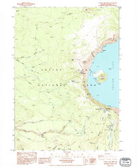
Crater Lake West, Oregon: USGS topographic map, 1:24,000 (1985–1997)
1985–1997 · 3 editions
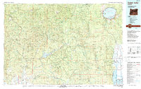
Crater Lake, Oregon: USGS topographic map, 1:100,000 (1989)
1989 · USGS Historical Topographic Map Collection
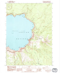
Crater Lake East, Oregon: USGS topographic map, 1:24,000 (1985–1999)
1985–1999 · 3 editions
Crater Lake, Wyoming: USGS topographic map, 1:24,000 (1968–1996)
1968–1996 · 3 editions
Mount Mc Loughlin, Oregon: USGS topographic map, 1:24,000 (1998)
1998 · USGS Historical Topographic Map Collection
Diamond Lake, Oregon: USGS topographic map, 1:24,000 (1985–1998)
1985–1998 · 2 editions
Crater Lake, Montana: USGS topographic map, 1:24,000 (1964–1994)
1964–1994 · 3 editions
Diamond Lake, Oregon: USGS topographic map, 1:100,000 (1978)
1978 · 2 editions