

Copperplate map London Stone
London Stone and St Swithin's Church in Cannon Street, London, as depicted on the "Copperplate" map of London of c.1553-59
- Date
- 1559
- Place
- the City of London
- Archive
- Wikimedia Commons
- Type
- map
- Original size
- 499 × 317 pixels
Public domainsafest
Reason: its maker died more than 70 years ago.
Read from: Commons licence category: PD-old-70-expired; no CC BY, CC BY-SA, GFDL or deletion tag on the file page.
Credit line
"Copperplate map London Stone" (1559). Wikimedia Commons. Public domain. https://commons.wikimedia.org/wiki/File:Copperplate_map_London_Stone.jpgNeed maps for a whole project? Add Find Any Map to Claude and ask for this one by its id: 292185.
More like this

Copperplate map St Pauls
c. 1553 · Wikimedia Commons

Copperplate map E City
c. 1553 · Wikimedia Commons
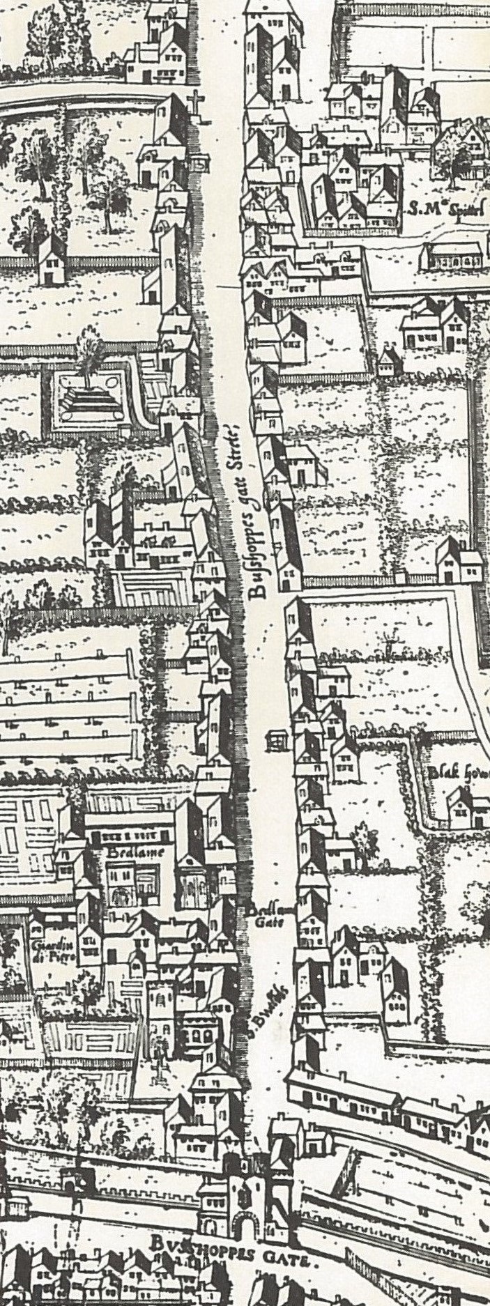
Copperplate map Bishopsgate
c. 1553 · Wikimedia Commons

Copperplate map W City
c. 1553 · Wikimedia Commons

Copperplate map Fleet
c. 1553 · Wikimedia Commons

Civitas Londinium StMaryWoolchurch
Wikimedia Commons

ONL (1887) 1.289 - St Paul's and Neighbouhood, from Aggas's Plan, 1563
1873–1887 · Wikimedia Commons

Copperplate map Bridewell
c. 1553 · Wikimedia Commons