

Comoros country map 1976, CIA
Country Map of the Comoros (Grande Comore, Anjouan, Moheli, Mayotte). From The Indian Ocean Atlas, CIA, 1976.
- Date
- 1976
- Mapmaker / publisher
- CIA
- Place
- the Comoros
- Archive
- Wikimedia Commons
- Type
- atlas page
- Original size
- 1,348 × 874 pixels
Public domain
Reason: a US government work (Central Intelligence Agency).
This status rests on the map's publication history, as researched by Wikimedia Commons. Check it before commercial use.
Read from: Commons licence category: PD CIA; no CC BY, CC BY-SA, GFDL or deletion tag on the file page.
Credit line
"Comoros country map 1976, CIA" (1976). CIA, via Wikimedia Commons. Public domain. https://commons.wikimedia.org/wiki/File:Comoros_country_map_1976,_CIA.jpgNeed maps for a whole project? Add Find Any Map to Claude and ask for this one by its id: 238997.
More like this

Maps of the world's nations.
1976 · Africa, plate 14

"Base 801747 (B00221-2) 10-91." Includes location map. ARP
1991 · Library of Congress

"Base 801748 (B00221-2) 10-91." Relief shown by shading. Includes location map. ARP
1991 · Library of Congress
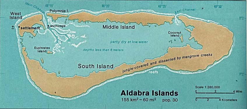
Aldabra islands seychelles 76
1976 · Wikimedia Commons

The Bahamas.
1976 · Library of Congress

Scale ca. 1:3,000,000. "502801 11-75 (542247)." Relief shown by shading. Includes location map. AACR2
1975 · Library of Congress

Cape Verde.
1977 · Library of Congress

Cayman Islands.
1976 · Library of Congress