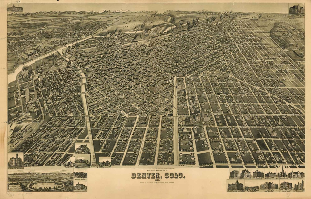

CO Denver 1889
A perspective map of Denver, Colorado in 1889.
- Date
- 1889
- Mapmaker / publisher
- Henry Wellge
- Place
- Denver, Colorado
- Archive
- Library of Congress (via Wikimedia Commons)
- Type
- bird's-eye view
- Original size
- 1,024 × 656 pixels
Public domainsafest
Reason: its US copyright has expired (published before 1931).
Read from: Commons licence category: PD US expired; no CC BY, CC BY-SA, GFDL or deletion tag on the file page.
Credit line
"CO Denver 1889" (1889). Henry Wellge. Library of Congress, Geography and Map Division, via Wikimedia Commons. Public domain. https://commons.wikimedia.org/wiki/File:CO_Denver_1889.jpgNeed maps for a whole project? Add Find Any Map to Claude and ask for this one by its id: 11019.
More like this

Perspective map of the city of Denver, Colo. 1889.
1889 · Library of Congress

Bird's eye view of Denver, Colorado, 1908.
1908 · Library of Congress

Birdseye view of Denver, Colorado, 1908 - DPLA - 4ac8083cbba722c01cad3388a37a7a0f
1908 · Wikimedia Commons

Bird's eye view of the city of Denver, Colorado, 1881.
1881 · Library of Congress

Bird's-eye view of Denver, 1887.
1887 · Library of Congress

Birdseye view from South Broadway. showing Harlem, Jacksons Broadway Heights & city of Denver.
1907 · Library of Congress

Pikes Peak panorama.
1890 · Library of Congress

Pueblo, Colo. 1890.
1890 · Library of Congress