

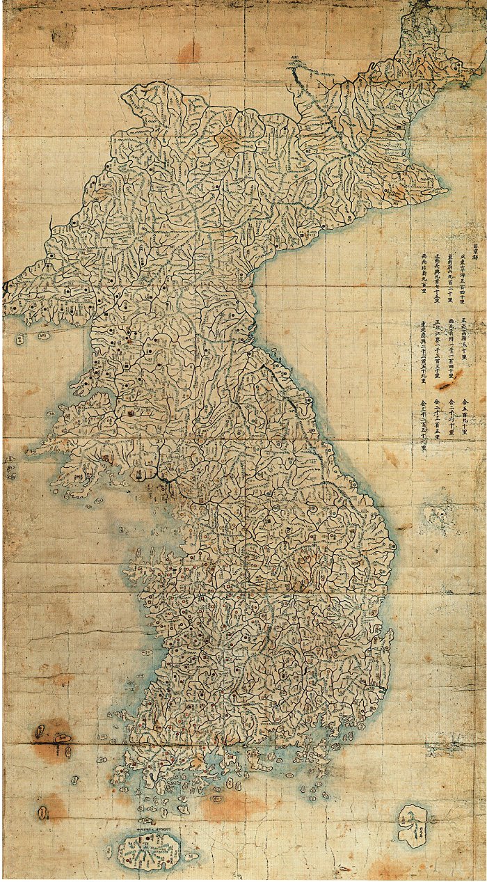
Cheonhado Map
- Archive
- Wikimedia Commons
- Type
- map
- Original size
- 800 × 771 pixels
Public domain
Reason: its maker died more than 100 years ago.
This status rests on the map's publication history, as researched by Wikimedia Commons. Check it before commercial use.
Read from: Commons licence category: PD-old-100-expired; no CC BY, CC BY-SA, GFDL or deletion tag on the file page.
Credit line
"Cheonhado Map". Wikimedia Commons. Public domain. https://commons.wikimedia.org/wiki/File:Cheonhado_Map.jpgNeed maps for a whole project? Add Find Any Map to Claude and ask for this one by its id: 144732.
More like this

Cheonhado 天下圖
Wikimedia Commons

Korean map-Cheonhado-02
Wikimedia Commons

Cheonhado 天下圖 Color
Wikimedia Commons

Korean atlas-Cheonhado-01
Wikimedia Commons

Cheonhado Readable
Wikimedia Commons

Korean map-Cheonhajido-Taegeukdo-01
Wikimedia Commons
Josun jundo jido late 1700
1700 · Wikimedia Commons

One map shows Ming Empire of China and the other map shows the world. Relief shown pictorially. Pen-and-ink and watercolor. Title from verso in red ink: Chʻŏnha Chungguk. Possibly based on early map (
1800 · Library of Congress