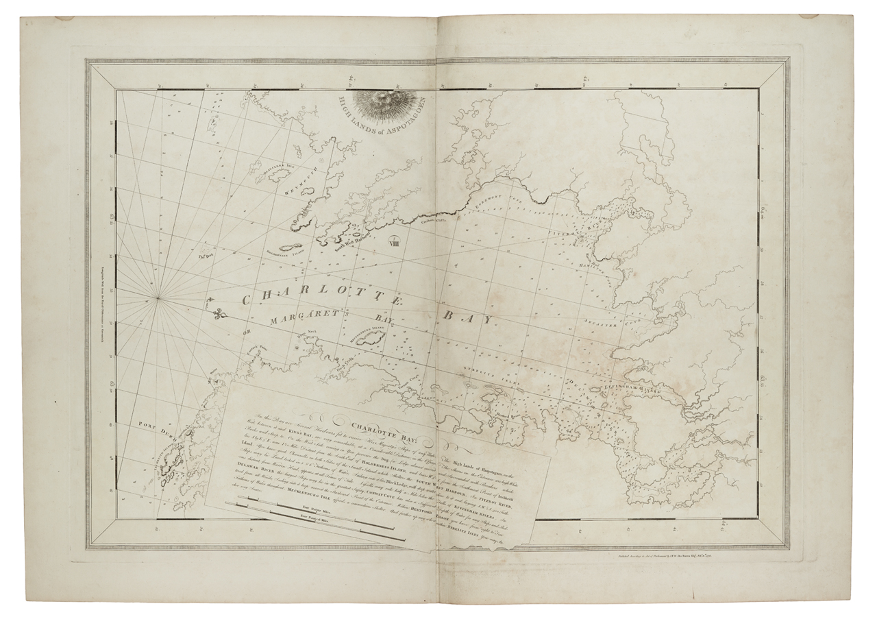

Charlotte Bay RMG K0545
Charlotte BayTwo sheets. Engraved. Scale: ca. 1:30 000 (bar). Cartographic Note: North at 103 degrees 30'. Variation shown 13 degrees 30' W. Tidal symbols shown. Bar scales in statute and nautical miles. Additional Places: St Margaret's Bay, Nova Scotia. Contents Note: Sailing directions are included in the title. Plate same as 37A. Other features: Printed on unwatermarked paper. Border yellow. Page number '11' type-stamped overleaf. HNS 37B Charlotte Bay
- Date
- 1776
- Mapmaker / publisher
- Des Barres; Joseph Frederick Wallet Des Barres
- Place
- St. Margarets Bay, Nova Scotia
- Archive
- Wikimedia Commons
- Type
- chart
- Original size
- 1,280 × 903 pixels
Public domainsafest
Reason: its maker died more than 100 years ago.
Read from: Commons licence category: PD-old-100-expired; no CC BY, CC BY-SA, GFDL or deletion tag on the file page.
Credit line
"Charlotte Bay RMG K0545" (1776). Des Barres; Joseph Frederick Wallet Des Barres, via Wikimedia Commons. Public domain. https://commons.wikimedia.org/wiki/File:Charlotte_Bay_RMG_K0545.jpgNeed maps for a whole project? Add Find Any Map to Claude and ask for this one by its id: 294466.
More like this

Charlotte Bay RMG K0548
1779 · Wikimedia Commons

Charlotte Bay RMG K0546
1776 · Wikimedia Commons

Spry Harbour to Flemming River RMG K0600
1779 · Wikimedia Commons

Boston Bay RMG K0732
1776 · Wikimedia Commons

Grand Manan Island and adjacent coast RMG K0807
1778 · Wikimedia Commons

The Atlantic Neptune, published for the use of the Royal Navy of Great Britain
1779 · St. Margarets Bay, Nova Scotia, plate 31

The Atlantic Neptune, published for the use of the Royal Navy of Great Britain
1780 · Nova Scotia, plate 19

Plan du port de Chibouctou à la côte de l'Acadie avec les côtes voisines.
1778 · Library of Congress