

Carzano Project, September 1917 - map
The arrows indicate the projected directions of Italian movement after the breakthrough of the Carzano front. The objective of the Sugan column for the 18th, IX. was Pergine, the objective of the Cadino column was Auer-Bolzano.
- Date
- 1925
- Archive
- Wikimedia Commons
- Type
- map
- Original size
- 1,506 × 2,068 pixels
Public domain
Reason: public domain: anon-70-EU.
This status rests on the map's publication history, as researched by Wikimedia Commons. Check it before commercial use.
Read from: Commons licence category: PD-anon-70-EU; no CC BY, CC BY-SA, GFDL or deletion tag on the file page.
Credit line
"Carzano Project, September 1917 - map" (1925). Wikimedia Commons. Public domain. https://commons.wikimedia.org/wiki/File:Carzano_Project,_September_1917_-_map.pngNeed maps for a whole project? Add Find Any Map to Claude and ask for this one by its id: 22412.
More like this

Success of the Carzano Night, 17-18 September 1917 - map
1925 · Wikimedia Commons

Zemljevid za razpogled bojnih točk med potekom avstrijsko-nemške ofenzive proti Italij
1917 · Wikimedia Commons
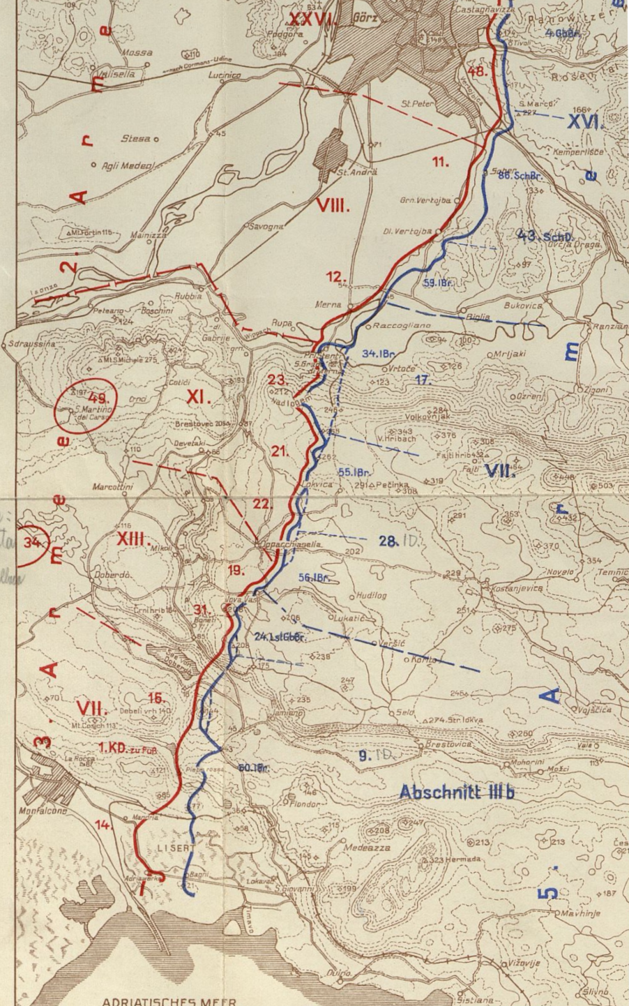
Seventh Battle of the Isonzo, Situation 14th September 1916
1934 · Wikimedia Commons

Austro-Italian 1916
1916 · Wikimedia Commons

Collier's 1921 World War - Fighting in Italy
1921 · Wikimedia Commons

Sette Communi
1915 · Wikimedia Commons

The seat of war on the Austro-Italian frontier
Wikimedia Commons

Collier's 1921 World War - French offensive in the Champagne
1921 · Wikimedia Commons