

Carte des déserts de la Basse-Thébaïde aux environs des monastères de St Antoine et de St Paul hermites avec le plan des lieux par où les Israëlites ont probablement passé en sortant d'Egypte
1717 map of Egypt by Claude Sicard
- Date
- 1717
- Mapmaker / publisher
- w:Claude Sicard
- Place
- Egypt
- Archive
- Wikimedia Commons
- Type
- map
- Original size
- 1,536 × 886 pixels
Public domain
Reason: a US government work.
This status rests on the map's publication history, as researched by Wikimedia Commons. Check it before commercial use.
Read from: Commons licence category: PD US; no CC BY, CC BY-SA, GFDL or deletion tag on the file page.
Credit line
"Carte des déserts de la Basse-Thébaïde aux environs des monastères de St Antoine et de St Paul hermites avec le plan des lieux par où les Israëlites ont probablement passé en sortant d'Egypte" (1717). w:Claude Sicard, via Wikimedia Commons. Public domain. https://commons.wikimedia.org/wiki/File:Carte_des_d%C3%A9serts_de_la_Basse-Th%C3%A9ba%C3%AFde_aux_environs_des_monast%C3%A8res_de_St_Antoine_et_de_St_Paul_hermites_avec_le_plan_des_lieux_par_o%C3%B9_les_Isra%C3%ABlites_ont_probablement_pass%C3%A9_en_sortant_d%27Egypte.jpgNeed maps for a whole project? Add Find Any Map to Claude and ask for this one by its id: 297108.
More like this

Carte des déserts de la basse Thébaïde aux environs des monastères de St. Antoine et de St. Paul hermites, avec le plan des lieux par où les Israëlites ont probablement passé en sortant de l'Égypte
1717 · Wikimedia Commons

Carte des déserts de la Basse-Thébaïde aux environs des monastères de St Antoine et de St Paul hermites avec le plan des lieux par où les Israëlites ont probablement passé en sortant d'Egypte
1717 · Plate 1 of 2

Land-Taffel über NIder-Thebais und über den Auszug deren Israëliten aus AEgypten
1717 · Wikimedia Commons

A new map shewing the travels of the patriarchs, as also of the children of Israel, from Egypt through the wilderness to the land of Canaan.; Lawrence H. Slaughter Collection of English maps, charts,
1700 · New York Public Library
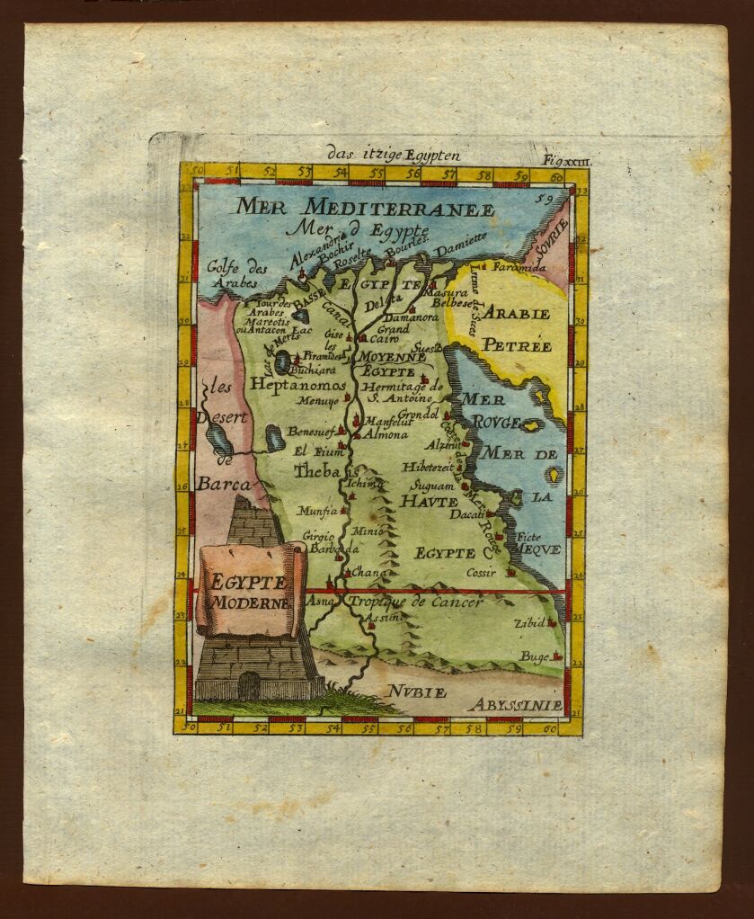
Map of Egypt, 1719
1683–1719 · Wikimedia Commons

Thévenot, Melchisédech. Iter a Gaza ad montem Sinaï ex Brittembachio (1659-1661)
1659–1661 · Wikimedia Commons

Route des Hébreux pour passer la Mer Rouge conforme à l'écriture / extrait des mémoires du père Claude Sicard; de Berey sc.
1727 · Wikimedia Commons

A map of Ancient Ægypt from Celarius
Wikimedia Commons