

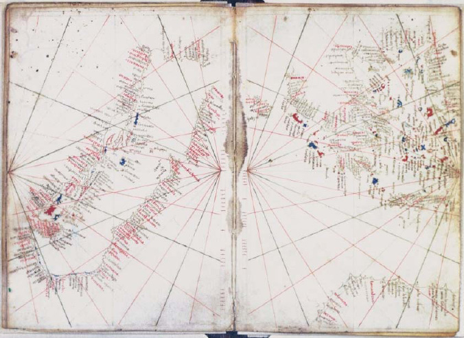
Carte de la Méditerranée centrale
Greece, plate 1 of 2
- Date
- 1500–1599
- Place
- Greece
- Archive
- Wikimedia Commons
- Type
- chart
- Original size
- 15,036 × 10,563 pixels
Public domainsafest
Reason: its US copyright has expired (published before 1931).
Read from: Commons licence category: PD US expired; no CC BY, CC BY-SA, GFDL or deletion tag on the file page.
Credit line
"Carte de la Méditerranée centrale" (1500–1599). Wikimedia Commons. Public domain. https://commons.wikimedia.org/wiki/File:Carte_de_la_M%C3%A9diterran%C3%A9e_centrale_-_btv1b55002611h_(1_of_2).jpgNeed maps for a whole project? Add Find Any Map to Claude and ask for this one by its id: 141824.
More like this

Portolan Mediterranean detail Greece ca 1600
c. 1600 · Wikimedia Commons

Carte de la Méditerranée en deux fragments
1500–1599 · Plate 1 of 3

Atlas factice des possessions de Venise et de l'Archipel
1571 · Plate 16 of 127

17th century Portolan chart of the Eastern Mediterrenean, the Aegean Sea and the Sea of Marmara
Wikimedia Commons

Atlas nautique du Monde Baptista Agnese Januensis fecit Venetijs anno domini 1543 die 25 juny
1543 · Plate 13 of 21
Luxoro Atlas sheets 5 & 6
c. 1421 · Wikimedia Commons

Portolan Mediterranean Sea ca 1600
c. 1600 · Wikimedia Commons

Portolano of the Mediterranean Sea
1575 · Wikimedia Commons