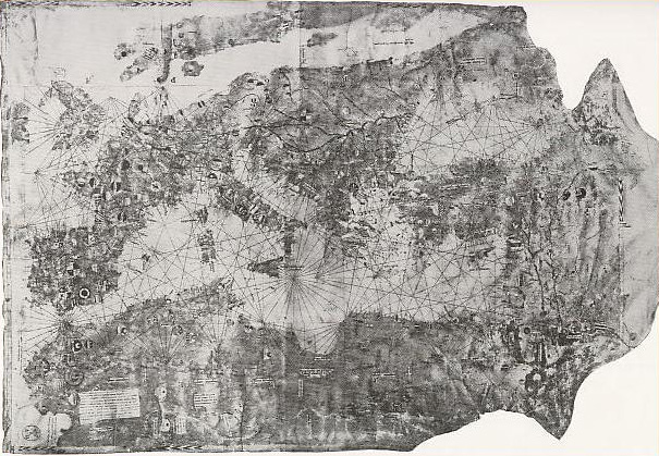

Carignano map (14th C.)
Portolan chart of Giovanni da Carignano of Genoa. Date variously assigned, c.1300, 1305, 1306, 1310, 1327, but before 1333. It was undated but signed "Presbiter Johannes Rector sancti Marci di portu Janue me fecit". If the earlier dates are accepted (before 1311), it may be the oldest known signed portolan chart. This chart was long held by the Archivio di Stato in Florence, Italy. The Carignano chart was destroyed in 1943 in the course of a bombing.
- Date
- 1300–1333
- Mapmaker / publisher
- Giovanni da Carignano
- Archive
- Wikimedia Commons
- Type
- chart
- Original size
- 605 × 419 pixels
Public domain
Reason: its maker died long enough ago that the copyright has expired.
This status rests on the map's publication history, as researched by Wikimedia Commons. Check it before commercial use.
Read from: Commons licence category: PD Old; no CC BY, CC BY-SA, GFDL or deletion tag on the file page.
Credit line
"Carignano map (14th C.)" (1300–1333). Giovanni da Carignano, via Wikimedia Commons. Public domain. https://commons.wikimedia.org/wiki/File:Carignano_map_(14th_C.).jpgNeed maps for a whole project? Add Find Any Map to Claude and ask for this one by its id: 141758.
More like this

Mediterranean chart fourteenth century
1320–1350 · Library of Congress

Portolan chart of the Mediterranean Sea ca. 1320-1350 - manuscript chart of the Mediterranean and Black seas on vellum.
1320 · Library of Congress

Mediterranean chart fourteenth century2
1320–1350 · Library of Congress

Anonymous Portuguese map c.1471 (Estense)
c. 1471 · Wikimedia Commons

The Pizzigano map, also known as the Pizzigano chart is an Italian portolan chart dated 1424. It contains islands in the North Atlantic Ocean in the west of Spain and Portugal including Portuguese dis
1424 · Wikimedia Commons

Sheet 1 of the portolan chart of Angelino de Dalorto.
1325–1330 · Wikimedia Commons

Christopher Colombus map. Lisbon, workshop of Bartolomeo and Christopher Colombus, c.1490. This map cannot be definitely linked to Columbus.
c. 1490 · Wikimedia Commons

Portolan chart of Guillem Soler (c.1380, Paris) Europe
1380 · Wikimedia Commons