

Capitania do ceara e rio grande
Map of the provinces of Ceará and Rio Grande (1698)
- Date
- March 7, 1698
- Mapmaker / publisher
- Andrea Antonio Orazi
- Place
- Brazil
- Archive
- Wikimedia Commons
- Type
- map
- Original size
- 3,102 × 4,189 pixels
Public domain
Reason: public domain: author.
This status rests on the map's publication history, as researched by Wikimedia Commons. Check it before commercial use.
Read from: Commons licence category: PD-author; no CC BY, CC BY-SA, GFDL or deletion tag on the file page.
Credit line
"Capitania do ceara e rio grande" (March 7, 1698). Andrea Antonio Orazi, via Wikimedia Commons. Public domain. https://commons.wikimedia.org/wiki/File:Capitania_do_ceara_e_rio_grande.jpgNeed maps for a whole project? Add Find Any Map to Claude and ask for this one by its id: 305869.
More like this

Capitanias do Nordeste e Rio Grande
January 11, 1650 · Wikimedia Commons

Brasil, divided into its captainships.
1701 · New York Public Library

PRAEFECTURAE DE PARAIBA, ET RIO GRANDE
1662 · Atlas Van der Hagen-KW1049B13 097-PRAEFECTURAE DE PARAIBA

Map of the Brazilian coast from the meridian of Rio de Janeiro, from Araçatuba to Guaratuba
1729 · Wikimedia Commons

PRAEFECTURA DE CIRILI vel SEREGIPPE DELREY cum Itâpuama
1662 · Wikimedia Commons
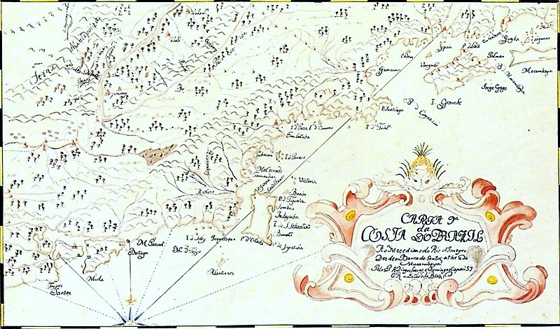
Map of the Brazilian coast from Santos to Marambaia
1729 · Wikimedia Commons

Map of part of Brazil
1643 · Wikimedia Commons

Siará 1629 por Albernaz
1629 · Wikimedia Commons