

California Trail
"*GPO: 2001--472-470/40038." Relief shown by shading and spot heights. Panel title. Includes indexes to additional trail routes. Text and ill. (some col.) on verso.
- Date
- 2001
- Mapmaker / publisher
- United States. Bureau Of Land Management; United States. Forest Service; United States. National Park Service
- Place
- the United States
- Archive
- Library of Congress (via Wikimedia Commons)
- Type
- map
- Original size
- 14,130 × 5,122 pixels
Public domainsafest
Reason: a US government work (NPS).
Read from: Commons licence category: PD US NPS; no CC BY, CC BY-SA, GFDL or deletion tag on the file page.
Credit line
"California Trail" (2001). United States. Bureau Of Land Management; United States. Forest Service; United States. National Park Service. Library of Congress, Geography and Map Division, via Wikimedia Commons. Public domain. https://commons.wikimedia.org/wiki/File:California_Trail_LOC_2001628023.jpgNeed maps for a whole project? Add Find Any Map to Claude and ask for this one by its id: 9796.
More like this
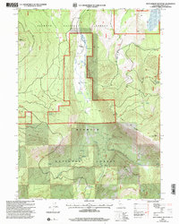
West Haight Mountain, California: USGS topographic map, 1:24,000 (2001)
2001 · USGS Historical Topographic Map Collection
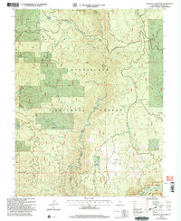
Duckwall Mountain, California: USGS topographic map, 1:24,000 (2001)
2001 · USGS Historical Topographic Map Collection
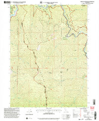
Orleans Mountain, California: USGS topographic map, 1:24,000 (2001)
2001 · USGS Historical Topographic Map Collection
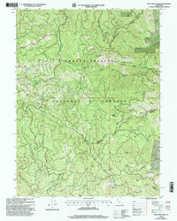
Pony Buck Peak, California: USGS topographic map, 1:24,000 (1998)
1998 · USGS Historical Topographic Map Collection
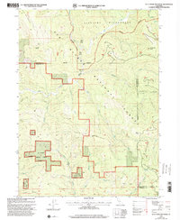
Blue Creek Mountain, California: USGS topographic map, 1:24,000 (1997)
1997 · USGS Historical Topographic Map Collection
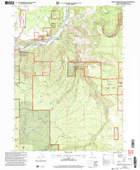
Secret Spring Mountain, California: USGS topographic map, 1:24,000 (2001)
2001 · USGS Historical Topographic Map Collection
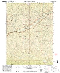
Medicine Mountain, California: USGS topographic map, 1:24,000 (2001)
2001 · USGS Historical Topographic Map Collection
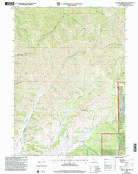
Gazelle Mountain, California: USGS topographic map, 1:24,000 (2001)
2001 · USGS Historical Topographic Map Collection