

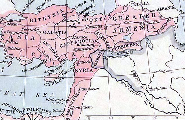
C. 1140 Asia Minor and Crusader States
Map of the Byzantine Empire, Crusader States and Islamic Territories circa 1140 CE
- Date
- c. 1911
- Place
- the Crusader states
- Archive
- Wikimedia Commons
- Type
- atlas page
- Original size
- 1,322 × 1,373 pixels
Public domainsafest
Reason: its maker died more than 90 years ago.
Read from: Commons licence category: PD-old-90-expired; no CC BY, CC BY-SA, GFDL or deletion tag on the file page.
Credit line
"C. 1140 Asia Minor and Crusader States" (c. 1911). Wikimedia Commons. Public domain. https://commons.wikimedia.org/wiki/File:C._1140_Asia_Minor_and_Crusader_States.jpgNeed maps for a whole project? Add Find Any Map to Claude and ask for this one by its id: 20588.
More like this

Asia Minor and the States of the Crusaders
1911 · 2 sheets

Asia minor-Shepherd 1923
1923 · Wikimedia Commons

Karta orienten 1190
1880 · Wikimedia Commons

South-eastern Europe 1105
1903 · Wikimedia Commons

Ottoman dismemberment
1923 · Wikimedia Commons

South-eastern Europe 1340
1903 · Wikimedia Commons

Armenia map detail, from- Shepherd-c-020
1911 · Wikimedia Commons
Near East ancient map
1923 · Wikimedia Commons