Bryce Arran Geological Map, published 1859
Geological Map of Arran. From Bryce, J. (1859) Geology of Clydesdale and Arran; embracing also the marine zoology and the flora of Arran, with complete lists of species; notes on the rarer insects of Arran; and notices of its scenery and antiquities
- Date
- December 31, 1859
- Mapmaker / publisher
- Bryce, James, 1806-1877
- Place
- the Isle of Arran
- Archive
- Wikimedia Commons
- Type
- map
- Original size
- 2,800 × 5,092 pixels
Public domainsafest
Reason: its maker died more than 70 years ago.
Read from: Commons licence category: PD-old-70-expired; no CC BY, CC BY-SA, GFDL or deletion tag on the file page.
Credit line
"Bryce Arran Geological Map, published 1859" (December 31, 1859). Bryce, James, 1806-1877, via Wikimedia Commons. Public domain. https://commons.wikimedia.org/wiki/File:Bryce_Arran_Geological_Map,_published_1859.tifNeed maps for a whole project? Add Find Any Map to Claude and ask for this one by its id: 245467.
More like this

Peach Horne Orkney Geological Map 1883 orkneysshetlandt00tudo 0234
December 31, 1883 · Wikimedia Commons

Geological map Carrock Fell Harker 1895
December 31, 1895 · Wikimedia Commons

Peach Horne Shetland Geological Map 1883
December 31, 1883 · Wikimedia Commons

Geological map Cross Fell Inlier Nicholson Marr 1891
December 31, 1891 · Wikimedia Commons

A Description of the Western Islands of Scotland (Rum, Eigg, Muck)
Wikimedia Commons

Geological Map of Northumberland and Durham 1867
1867 · Wikimedia Commons
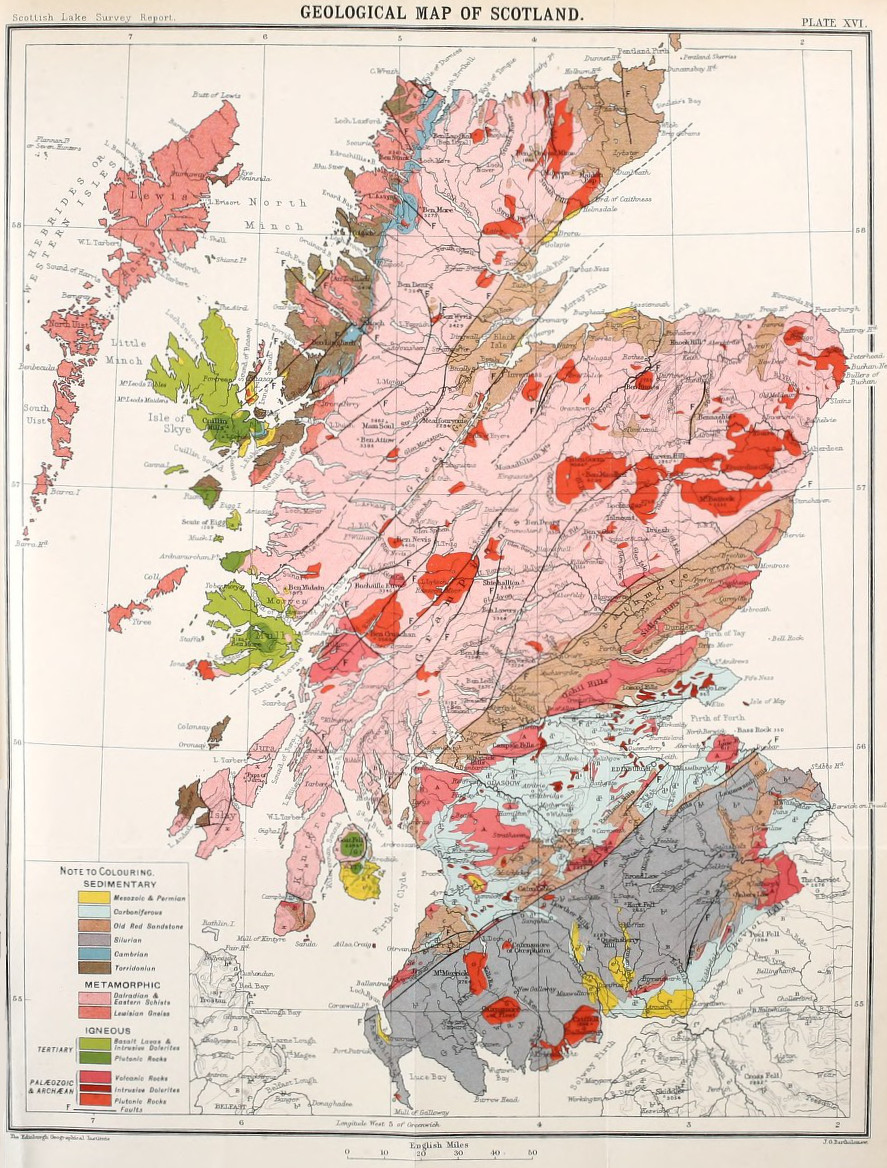
Bathymetrical survey of the lochs of Scotland, vol.I, plate XVI (Geological Map of Scotland)
1910 · Wikimedia Commons

Geological map Northumberland Durham Lebour 1886
December 31, 1886 · Wikimedia Commons