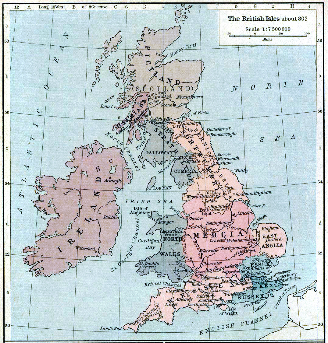

British isles 802
Map of the British Isles claiming to represent borders circa 802 AD.
- Date
- 1926
- Place
- the British Isles
- Archive
- Wikimedia Commons
- Type
- map
- Original size
- 1,076 × 1,127 pixels
Public domainsafest
Reason: its maker died more than 80 years ago.
Read from: Commons licence category: PD-old-80-expired; no CC BY, CC BY-SA, GFDL or deletion tag on the file page.
Credit line
"British isles 802" (1926). Wikimedia Commons. Public domain. https://commons.wikimedia.org/wiki/File:British_isles_802.jpgNeed maps for a whole project? Add Find Any Map to Claude and ask for this one by its id: 244846.
More like this

C. 802 British Isles
c. 1911 · Wikimedia Commons

The British Isles about 802 (William R. Shepherd)
1911 · Wikimedia Commons

British isles ref 1926
1923 · Wikimedia Commons

Saxon England According to the Saxon Chronicle
1806 · Wikimedia Commons

C. 410 Britannia
c. 1911 · Wikimedia Commons

Ancient European Geography from Rees's Cyclopaedia
c. 1820 · Wikimedia Commons

British Isles
January 2, 1909 · Wikimedia Commons
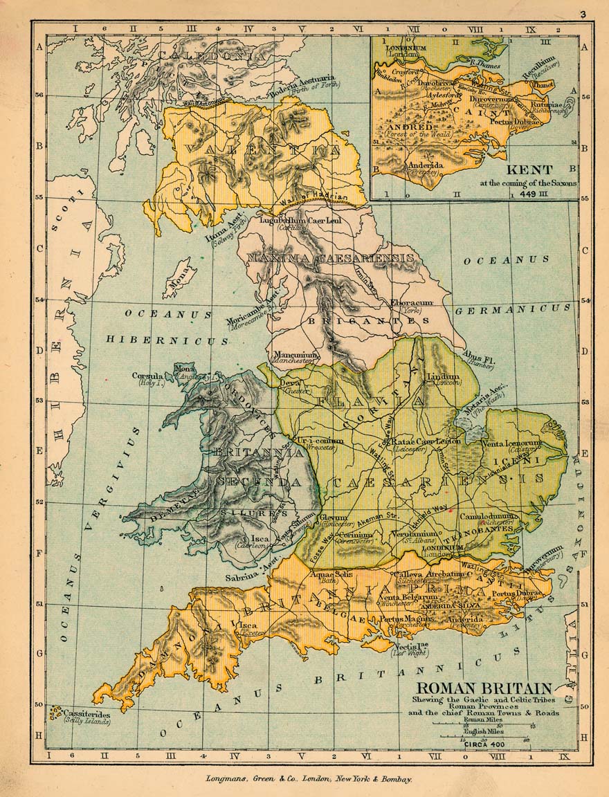
Roman britain 400
1905 · Wikimedia Commons