

British Empire throughout the world exhibited in one view.
- Date
- 1850
- Mapmaker / publisher
- Bartholomew, John; A. Fullarton & Co
- Place
- Great Britain
- Archive
- Library of Congress (via Wikimedia Commons)
- Type
- map
- Original size
- 6,720 × 5,608 pixels
Public domainsafest
Reason: its maker died more than 100 years ago.
Read from: Commons licence category: PD-old-100-expired; no CC BY, CC BY-SA, GFDL or deletion tag on the file page.
Credit line
"British Empire throughout the world exhibited in one view." (1850). Bartholomew, John; A. Fullarton & Co. Library of Congress, Geography and Map Division, via Wikimedia Commons. Public domain. https://commons.wikimedia.org/wiki/File:British_Empire_throughout_the_world_exhibited_in_one_view._LOC_98687124.jpgNeed maps for a whole project? Add Find Any Map to Claude and ask for this one by its id: 9663.
More like this

British India John Tallis
1851 · Wikimedia Commons

The British Raj, commonly called India, in relation to the British Empire in 1909. Mercator Projection
June 30, 1909 · Wikimedia Commons
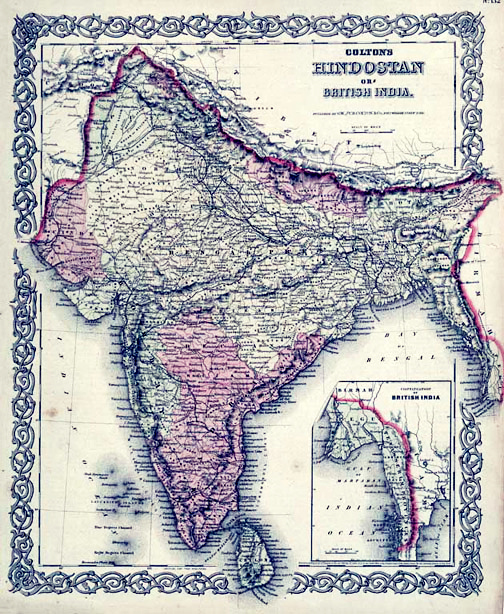
Map of British India, 1855. Published by G. W. and C. B. Colton and Company in New York, 1855. It was derived from an earlier wall map of the world produced by Colton and D. Griffing Johnson. Covers t
1855 · Wikimedia Commons

British possessions in North America. NYPL1030028
New York Public Library

The Harmsworth atlas and Gazetter: 500 maps and diagrams in colour with commercial statistics and Gazetter index of 105 000 names
2 sheets

Map of British North America
April 25, 1854 · U.S. National Archives

(1857) Map of THE WORLD
1857 · Wikimedia Commons

Map of тhe British Isles.25.4 сm x 20.32 сm.The second half of the 19th century
Wikimedia Commons