

British Coins
A depiction of the obverse and reverse of a silver coin from the figures decorating the margins of Moll's map of Buckinghamshire, sold separately and as Map 16 in his Set of Fifty New and Correct Maps of England and Wales. The illustration derives from figure 13 of Tabula II Nummi Britannici on Page 88 of William Camden's Britannia, Vol. I. Its note states "13. The thirteenth, by the letters BR, seems to be the head of Britannia, as there were many the like of Rome and other places: the reverse is also, according to many Roman coins, a man on horseback, as in that exercise they called decursio." Notes: Obverse: BR London: Sold by H. Moll over-against Devereux-Court in the Strand; Tho. Bowles, Print and Map-Seller near the Chapter-House in St. Paul's Church-Yard, and J. Bowles Print and Map-Seller over-against Stocks-Market. 1724.
- Date
- 1586
- Archive
- Wikimedia Commons
- Type
- map
- Original size
- 632 × 308 pixels
Public domain
Reason: public domain: France.
This status rests on the map's publication history, as researched by Wikimedia Commons. Check it before commercial use.
Read from: Commons licence category: PD France; no CC BY, CC BY-SA, GFDL or deletion tag on the file page.
Credit line
"British Coins" (1586). Wikimedia Commons. Public domain. https://commons.wikimedia.org/wiki/File:British_Coin_12.jpgNeed maps for a whole project? Add Find Any Map to Claude and ask for this one by its id: 244943.
More like this

British Coins
1586 · Wikimedia Commons

British Coins
1586 · Wikimedia Commons

A British Monument call'd Kitts Coty House near Maidstone
1724 · Wikimedia Commons

print, book-illustration, map
1658 · BM 1977,U.367.1

A color map (440×365 mm) from William Stukeley's extracts from Charles Bertram's forged account The Description of Britain (Latin: De Situ Britanniae). Text: Mappa Britanniae faciei Romanae secundum f
1757 · Wikimedia Commons

Surrey by H. Moll Geographer
1724 · Wikimedia Commons
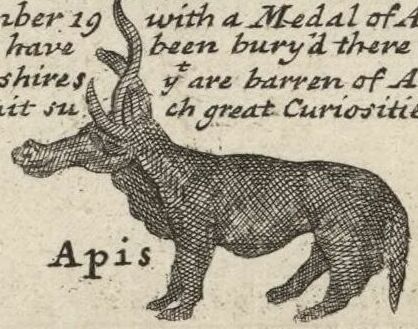
A depiction of a statue of an animal or monster discovered in 1714 in the Southbroom Hoard near Devizes, Wiltshire, from the figures decorating the margins of Moll's map of "Wilt Shire" (Wiltshire), t
1724 · Wikimedia Commons

A natural-color image of the black and white reprint (15×12.5 inches) of Charles Bertram's map from his forged account The Description of Britain (Latin: De Situ Britanniae). Text: Mappa Britanniae Fa
1809 · Wikimedia Commons