

Breslau 1806-1807
Wrocław (Breslau) during the Confederation of the Rhine (Napoleonic Germany) siege of Dec1806 - Jan1807. List of outworks (numbered I - XXI) to the right
- Date
- 1907
- Mapmaker / publisher
- Gustav Höcker
- Place
- Wrocław
- Archive
- Wikimedia Commons
- Type
- map
- Original size
- 3,000 × 2,210 pixels
Public domainsafest
Reason: its maker died more than 70 years ago, and a faithful scan of a flat work adds no new copyright.
Read from: Commons licence category: PD-Art (PD-old-70); no CC BY, CC BY-SA, GFDL or deletion tag on the file page.
Credit line
"Breslau 1806-1807" (1907). Gustav Höcker, via Wikimedia Commons. Public domain. https://commons.wikimedia.org/wiki/File:Breslau_1806-1807.jpgNeed maps for a whole project? Add Find Any Map to Claude and ask for this one by its id: 254768.
More like this

Map of Breslau (Wrocław) in about 1807, showing also the fortifications as they stood before the siege of 1806, and which had been destroyed shortly after. Engraved by Friedrich Gottlob Endler. The no
1807 · Wikimedia Commons

City map of Breslau (pl: Wrocław) at about 1890
1892 · Wikimedia Commons

City of Wrocław (1831) with toll-houses
1831 · Wikimedia Commons

Breslau
1903 · Wikimedia Commons

Plan-von-Breslau-und-den-ehemaligen-Festungswerken 1808 Artist Friedrich-Gottlob-Endler publisher Johan-Friedrich-Korn-der-Aeltere
1808 · Wikimedia Commons

Breslau map 1860
1864 · Wikimedia Commons
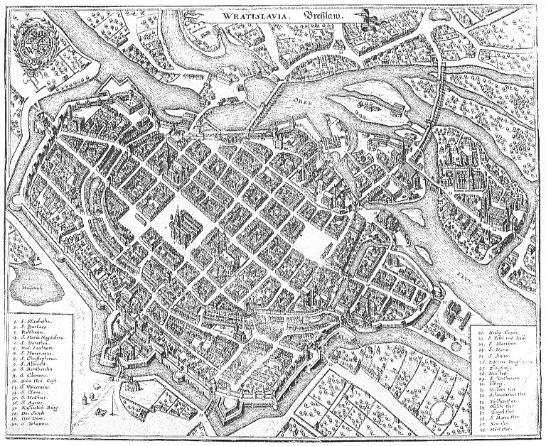
Wratislavia - Breßlaw
c. 1660 · Wikimedia Commons

Breslaw
1650–1750 · Wikimedia Commons