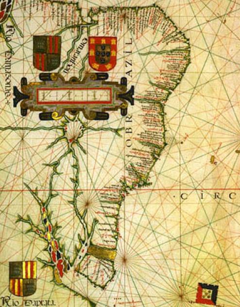

Brazil vaz dourado
Brazil in Vaz Dourado atlas (c.1576).
- Date
- 1570s
- Place
- Brazil
- Archive
- Wikimedia Commons
- Type
- map
- Original size
- 494 × 631 pixels
Public domain
Reason: its maker died long enough ago that the copyright has expired.
This status rests on the map's publication history, as researched by Wikimedia Commons. Check it before commercial use.
Read from: Commons licence category: PD Old; no CC BY, CC BY-SA, GFDL or deletion tag on the file page.
Credit line
"Brazil vaz dourado" (1570s). Wikimedia Commons. Public domain. https://commons.wikimedia.org/wiki/File:Brazil_vaz_dourado.JPGNeed maps for a whole project? Add Find Any Map to Claude and ask for this one by its id: 141610.
More like this

Fernão Vaz Dourado — Karte 2 Südamerika nördl. — BSB-Hss Cod.icon. 137 — Abb. 16
1580 · Wikimedia Commons

Description of the State of Brazil
1612 · Wikimedia Commons

Fernão Vaz Dourado 1575-1
1575–2008 · Wikimedia Commons

Terra Nova e Labrador 03
August 2, 2021 · Wikimedia Commons

Atlas nautique du Monde, dit atlas Miller; 2-5. Atlas Miller: feuilles 2 à 5. feuille 5
1519 · Wikimedia Commons

Terra Nova e Labrador 02
August 2, 2021 · Wikimedia Commons

Description of the coast from Rio de Janeiro to the port of São Vicente
1612 · Wikimedia Commons

Atlas nautique portugais
1558 · Brazil, plate 13 of 16