

Brazil and Bolivia boundary.
- Date
- 1915
- Place
- Brazil
- Archive
- Library of Congress (via Wikimedia Commons)
- Type
- map
- Original size
- 2,689 × 3,240 pixels
Public domainsafest
Reason: its maker died more than 100 years ago.
Read from: Commons licence category: PD-old-100-expired; no CC BY, CC BY-SA, GFDL or deletion tag on the file page.
Credit line
"Brazil and Bolivia boundary." (1915). Library of Congress, Geography and Map Division, via Wikimedia Commons. Public domain. https://commons.wikimedia.org/wiki/File:Brazil_and_Bolivia_boundary._LOC_2003627099.jpgNeed maps for a whole project? Add Find Any Map to Claude and ask for this one by its id: 9632.
More like this

Central Brazil and the new Rio Theodoro.
1915 · Library of Congress

Brazil - from official and other sources
1905 · Library of Congress

Mapa de la región limítrofe entre Brasil y Colombia
1907 · Wikimedia Commons

Esboço geographico organizado em conformidade de documentos officiaes e outros valiosos com o fim principal de mostrar a fronteira do Brazil, no territorio comprehendido entre os Rios Madeira e Javary
1874 · Library of Congress

Map of Brazil
c. 1905 · Wikimedia Commons
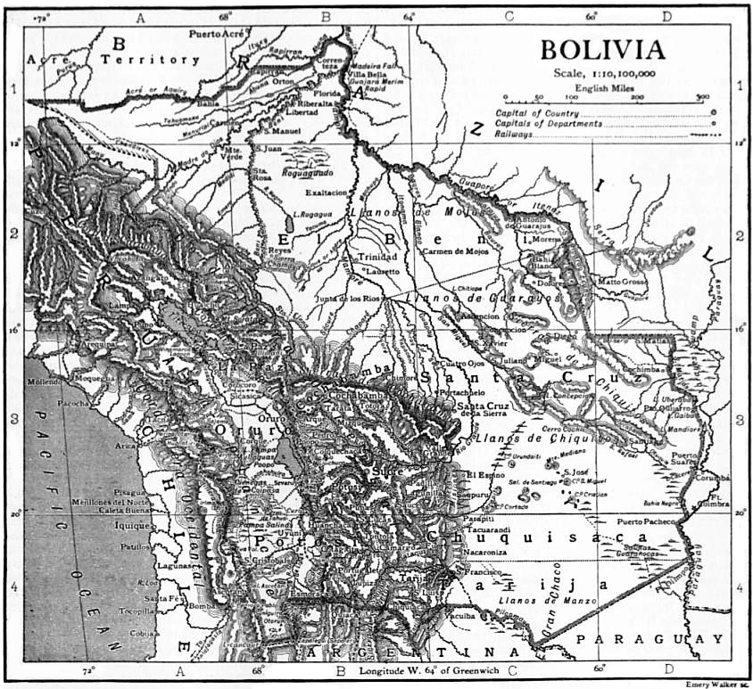
EB1911 Bolivia map
1911 · Wikimedia Commons

Brazil-Colombia border 1
April 15, 1985 · Wikimedia Commons

Mapa do Brasil - 1922
1922 · Wikimedia Commons