

Bougainville Operation map
Map of Japanese troop movements on Bougainville during the fighting on the island between November 1943 and March 1944
- Date
- 1950–1966
- Mapmaker / publisher
- Not stated. The materials were provided to the US Army by the Japanese Demobilization Bureaux. The book was commissioned and published by the US Army
- Place
- Bougainville
- Archive
- Wikimedia Commons
- Type
- map
- Original size
- 562 × 798 pixels
Public domain
Reason: public domain: Japan-organization.
This status rests on the map's publication history, as researched by Wikimedia Commons. Check it before commercial use.
Read from: Commons licence category: PD-Japan-organization; no CC BY, CC BY-SA, GFDL or deletion tag on the file page.
Credit line
"Bougainville Operation map" (1950–1966). Not stated. The materials were provided to the US Army by the Japanese Demobilization Bureaux. The book was commissioned and published by the US Army, via Wikimedia Commons. Public domain. https://commons.wikimedia.org/wiki/File:Bougainville_Operation_map.jpgNeed maps for a whole project? Add Find Any Map to Claude and ask for this one by its id: 24917.
More like this

Japanese Counterattack on Bougainville March 1944
1944 · Wikimedia Commons
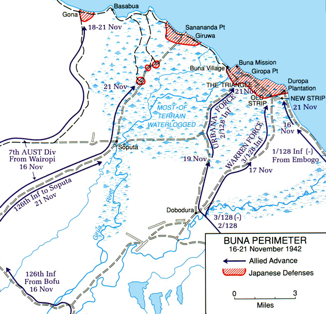
Buna-Gona map
c. 1950 · Wikimedia Commons

Battle of Piva Forks second day map 20 Nov 43
1946 · Wikimedia Commons

Japanese forces Morotai
1966 · Wikimedia Commons

Naval Operations off Bougainville - 1943
1943 · Wikimedia Commons

Japanese Withdrawal Routes in West New Britain
1963 · Wikimedia Commons

Final NG campaigns
1994 · Wikimedia Commons

Kokoda Track map
c. 1950 · Wikimedia Commons