
Bonnet Carré Spillway
Shows levees and railways around the Spillway and Floodway. Panel title. Includes text, location map, and statistical information. Text, 3 profiles of typical levee section and spillway structure, and ill. on verso.
- Date
- 1987
- Mapmaker / publisher
- United States. Army. Corps Of Engineers. New Orleans District; United States. Mississippi River Commission
- Archive
- Library of Congress (via Wikimedia Commons)
- Type
- map
- Original size
- 9,578 × 3,347 pixels
Public domainsafest
Reason: a US government work.
Read from: Commons licence category: PD US Government; no CC BY, CC BY-SA, GFDL or deletion tag on the file page.
Credit line
"Bonnet Carré Spillway" (1987). United States. Army. Corps Of Engineers. New Orleans District; United States. Mississippi River Commission. Library of Congress, Geography and Map Division, via Wikimedia Commons. Public domain. https://commons.wikimedia.org/wiki/File:Bonnet_Carr%C3%A9_Spillway_LOC_94680711.tifNeed maps for a whole project? Add Find Any Map to Claude and ask for this one by its id: 9522.
More like this
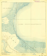
Bonnet Carre, Louisiana: USGS topographic map, 1:62,500 (1892–1969)
1892–1969 · 6 editions
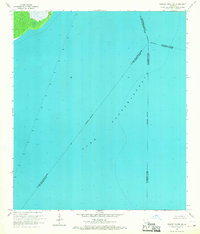
Bonnett Carre NE, Louisiana: USGS topographic map, 1:24,000 (1967–1998)
1967–1998 · 2 editions

Flood control project, Mississippi River, East Cape Girardeau and Clear Creek Drainage District - Alexandria County, Illinois
1977 · Library of Congress

Flood control project, Mississippi River, North Alexandria Drainage and Levee District - Alexandria County, Illinois
1977 · Library of Congress

Critical erosion areas of the Lafourche-Terrebonne cooperative river basin study, Lafourche and Terrebonne parishes, Louisiana
1985 · Library of Congress

Chalmette, a unit of Jean Lafitte National Historical Park
1989 · Library of Congress

Transportation map of Louisiana.
1975 · Library of Congress

Flooded areas, vicinity of Monroe, Louisiana.
1970 · Library of Congress