

Bombay in its setting, from a map by SDUK, 1844
- Date
- 1844
- Mapmaker / publisher
- SDUK
- Place
- Mumbai
- Archive
- Wikimedia Commons
- Type
- map
- Original size
- 900 × 720 pixels
Public domain
Reason: its maker died long enough ago that the copyright has expired.
This status rests on the map's publication history, as researched by Wikimedia Commons. Check it before commercial use.
Read from: Commons licence category: PD Old; no CC BY, CC BY-SA, GFDL or deletion tag on the file page.
Credit line
"Bombay in its setting, from a map by SDUK, 1844" (1844). SDUK, via Wikimedia Commons. Public domain. https://commons.wikimedia.org/wiki/File:Bombay_in_its_setting,_from_a_map_by_SDUK,_1844.jpgNeed maps for a whole project? Add Find Any Map to Claude and ask for this one by its id: 255830.
More like this

Bombay, A map from 'The Earth and Its Inhabitants' by Elisee Reclus, 1883
1883 · Wikimedia Commons

Bombay From "The Royal Atlas of Modern Geography" by Alexander Keith Johnston (William Blackwood & Sons, Edinburgh & London, 1861)
1861 · Wikimedia Commons

Bombay City map
1893 · Wikimedia Commons

A new mapp of the Island of BOMBAY and SALLSET; Atlases, gazetteers, guidebooks and other books / The sea-atlas: containing an hydrographical description of most of the sea-coasts of the known parts o
1702–1707 · New York Public Library

A Surat-to-Bombay map by Benard, from Pierre de Pagès' 'Voyages Autour Du Monde', Paris, 1782 an overview of the Bombay region
1782 · Wikimedia Commons

Map of the native town of Bombay, completed to 1855
1855 · Wikimedia Commons

Kalyan 1883
1883 · Wikimedia Commons
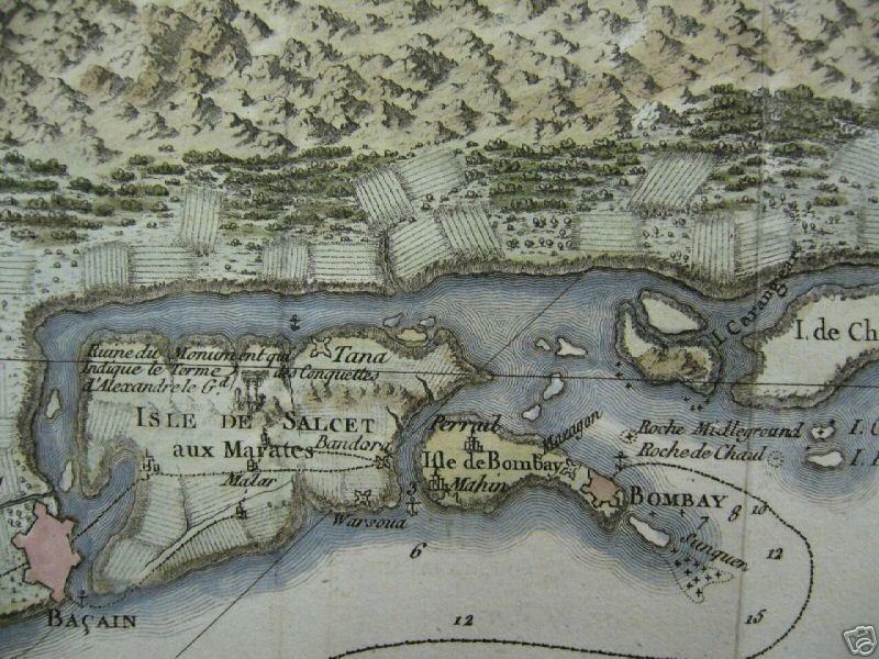
A Surat-to-Bombay map by Benard, from Pierre de Pagès' 'Voyages Autour Du Monde', Paris, 1782 *the Bombay region
1782 · Wikimedia Commons