

Black Hawk War 1832
- Date
- 1907
- Mapmaker / publisher
- Harper & Row
- Archive
- Wikimedia Commons
- Type
- map
- Original size
- 1,297 × 1,999 pixels
Public domainsafest
Reason: its US copyright has expired (published before 1931).
Read from: Commons licence category: PD US expired; no CC BY, CC BY-SA, GFDL or deletion tag on the file page.
Credit line
"Black Hawk War 1832" (1907). Harper & Row, via Wikimedia Commons. Public domain. https://commons.wikimedia.org/wiki/File:Black_Hawk_War_1832.jpgNeed maps for a whole project? Add Find Any Map to Claude and ask for this one by its id: 294687.
More like this
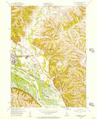
Blackhawk, Illinois: USGS topographic map, 1:24,000 (1953)
1953 · 3 editions
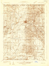
Harvard, Illinois: USGS topographic map, 1:48,000 (1932)
1932 · USGS Historical Topographic Map Collection
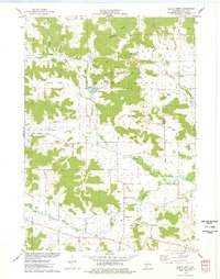
Black Hawk, Wisconsin: USGS topographic map, 1:24,000 (1975)
1975 · USGS Historical Topographic Map Collection
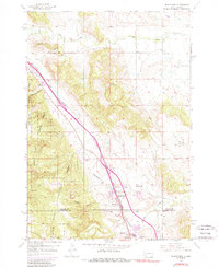
Blackhawk, South Dakota: USGS topographic map, 1:24,000 (1953)
1953 · 4 editions

Statistical atlas of the United States, based upon the results of the eleventh census
1898 · 36 sheets
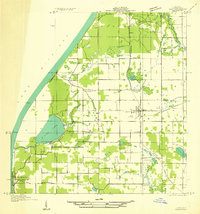
Hart NW, Michigan: USGS topographic map, 1:31,680 (1931)
1931 · USGS Historical Topographic Map Collection
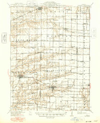
La Harpe, Illinois: USGS topographic map, 1:62,500 (1918)
1918 · 4 editions
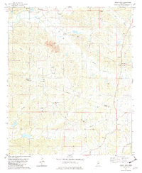
Black Hawk, Mississippi: USGS topographic map, 1:24,000 (1982)
1982 · USGS Historical Topographic Map Collection