

Bird's-Eye View of Zeelandia, c. 1652
This view of the headquarters of the Dutch East India Company on Taiwan was drawn by German traveller Caspar Schmalkalden around 1652. To the left one can see the town of Zeelandia, which was inhabited primarily by Chinese merchants and their families. Fort Zeelandia lies in the center, behind a complex of warehouses and residences, which are themselves protected by thick walls. Toward the right stands a small redoubt, whose function was to prevent the hills above the fortress from falling into enemy hands, since they afforded a clear shot over the walls. In 1660, Zheng Chenggong began to besiege Fort Zeelandia, but he made no progress until, nine months later, a company defector told him about the redoubt. Once Chenggong's forces had captured it and pointed their cannon at the fortress, Dutch officials offered their surrender. Used by permission of the Gotha Research Library (Forschungsbibliotek Gotha) (finding aid: Chart B, fos. 282v-283).
- Date
- 1652
- Place
- Taiwan
- Archive
- Wikimedia Commons
- Type
- bird's-eye view
- Original size
- 1,000 × 618 pixels
Public domainsafest
Reason: its maker died more than 100 years ago, and a faithful scan of a flat work adds no new copyright.
Read from: Commons licence category: PD-Art (PD-old-100); no CC BY, CC BY-SA, GFDL or deletion tag on the file page.
Credit line
"Bird's-Eye View of Zeelandia, c. 1652" (1652). Wikimedia Commons. Public domain. https://commons.wikimedia.org/wiki/File:Bird%27s-Eye_View_of_Zeelandia,_c._1652.jpgNeed maps for a whole project? Add Find Any Map to Claude and ask for this one by its id: 139010.
More like this

Bird's-Eye View of Fort Zeelandia and Warehouses, 1635
1635 · Wikimedia Commons

Atlas Blaeu-Van der Hem - Taioan
1644–2013 · Wikimedia Commons

View of city and Fort Zeelandia on Taiwan
c. 1670 · Wikimedia Commons

Map of the Spanish Port in Jilong, Taiwan, 1626
1626 · Wikimedia Commons
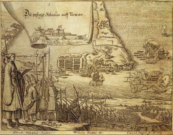
Surrender of Fort Zeelandia
1669 · Wikimedia Commons

1644 熱蘭遮城 -- 臺灣城 (Formosa - Fort de Zeelande ou de Taiovang)TAIWAN
1644 · Wikimedia Commons

Het Eyland Formosa & Pisca Dores
1636 · Wikimedia Commons

Fort Zealandia Taiwan
1670 · Wikimedia Commons