

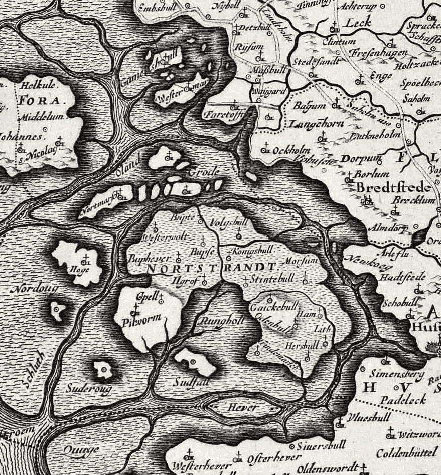
Bergenhusen Karte 17. Jahrhundert
- Date
- 1680
- Mapmaker / publisher
- Kommentator1989
- Place
- Schleswig-Holstein
- Archive
- Wikimedia Commons
- Type
- map
- Original size
- 1,740 × 883 pixels
Public domain
Reason: published outside the US before 1996 and already public domain in its home country then.
This status rests on the map's publication history, as researched by Wikimedia Commons. Check it before commercial use.
Read from: Commons licence category: PD-1996; no CC BY, CC BY-SA, GFDL or deletion tag on the file page.
Credit line
"Bergenhusen Karte 17. Jahrhundert" (1680). Kommentator1989, via Wikimedia Commons. Public domain. https://commons.wikimedia.org/wiki/File:Bergenhusen_Karte_17._Jahrhundert.pngNeed maps for a whole project? Add Find Any Map to Claude and ask for this one by its id: 252976.
More like this

Ausschnitt Immenstedter Wald 1680
1680 · Wikimedia Commons

Gotteskoog
17th century · Wikimedia Commons
Halligen 1650
1650 · Wikimedia Commons

Dänischer Wohld 1652
1652 · Wikimedia Commons

Alt-nordstrand auf bleau-karte
1662 · Wikimedia Commons

Ducatus Holsatiae nova tabula
1640 · Schleswig-Holstein, plate 2 of 5

Dithmarsia, Rendesburgum, Kiel et Bordesholm in occidentali parte Holsatiae
c. 1695 · Wikimedia Commons

Holsatiae ducatus vernaculè das Hertzogtum Holstein, peraccuratè divisus in ejusdem quatuor ! tractus sive partes nempe in ducatus Holsatiae propriae, Ditmarsiae, Stormariae, et Wagriae, cum adjacentibus
c. 1750 · Wikimedia Commons