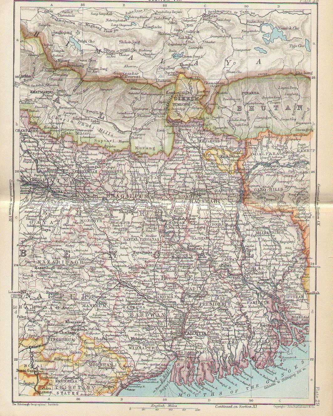

Bengal map 1893
English: 1893 map of Bengal Bengali: Hindi
- Date
- 1893
- Mapmaker / publisher
- John Bartholomew
- Place
- India
- Archive
- Wikimedia Commons
- Type
- map
- Original size
- 1,063 × 1,327 pixels
Public domainsafest
Reason: its maker died more than 100 years ago.
Read from: Commons licence category: PD-old-100-expired; no CC BY, CC BY-SA, GFDL or deletion tag on the file page; permission field: This image is in the public domain due to its age..
Credit line
"Bengal map 1893" (1893). John Bartholomew, via Wikimedia Commons. Public domain. https://commons.wikimedia.org/wiki/File:Bengal_map_1893.JPGNeed maps for a whole project? Add Find Any Map to Claude and ask for this one by its id: 241844.
More like this

Bengal gazetteer 1907-9
1907 · Wikimedia Commons

Bengal gazetteer 1907
1907 · Wikimedia Commons

Map of Tibet in 1893, from India general political map of 1893 in Constables Hand Atlas
1893 · Wikimedia Commons

Map, "Political Map of the Indian Empire, 1893" from Constable's Hand Atlas of India, London: Archibald Constable and Sons, 1893. Uploaded by Fowler&fowler «Talk» 23:20, 13 February 2009 (UTC)
1893 · Wikimedia Commons

Map of "Bengal" from. Scanned from personal copy and uploaded by Fowler&fowler
1880 · Wikimedia Commons

Bengalpresidency 1858
1858 · Wikimedia Commons

1898 Sikhim and Adjoining Territories by Waddell
1898 · Wikimedia Commons

Map of Bengal districts 1943
1945 · Wikimedia Commons