

Bastion de france barbarie
- Date
- 1700–1799
- Mapmaker / publisher
- 18th century author
- Place
- Bastion de France
- Archive
- Wikimedia Commons
- Type
- map
- Original size
- 512 × 676 pixels
Public domain
Reason: its maker died long enough ago that the copyright has expired.
This status rests on the map's publication history, as researched by Wikimedia Commons. Check it before commercial use.
Read from: Commons licence category: PD Old; no CC BY, CC BY-SA, GFDL or deletion tag on the file page.
Credit line
"Bastion de france barbarie" (1700–1799). 18th century author, via Wikimedia Commons. Public domain. https://commons.wikimedia.org/wiki/File:Bastion_de_france_barbarie.jpgNeed maps for a whole project? Add Find Any Map to Claude and ask for this one by its id: 238659.
More like this

Malta
1700–1799 · Wikimedia Commons

Les côtes de Barbarie: du cap Bon jusqu'à Bougie
Wikimedia Commons

Plan et aspect du Bastion de France sur la Côte de Barbarie
Wikimedia Commons

A chart of coast of BARBARY from C. Bajadore to the Golfe of St. Anne; Atlases, gazetteers, guidebooks and other books / The sea-atlas: containing an hydrographical description of most of the sea-coas
1702–1707 · New York Public Library

Carte française du Golfe Persique
1600–1799 · 2 sheets
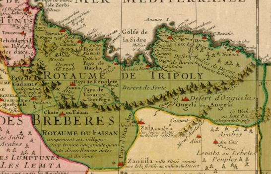
Trablusgarp Eyâleti
Wikimedia Commons

Regency of Algiers (1795-1830)
March 3, 2025 · Wikimedia Commons

Carte de la cotte d'Affrique contenant partie de la concession de la Compagnie royale du Senegal, depuis le cap Blanc jusque au Bissaux, 17.
1700–1799 · Wikimedia Commons