

Bardia map
The attack on Bardia. Positions as at dusk on 3 January 1941.
- Date
- 1952
- Mapmaker / publisher
- Hugh W. Groser
- Archive
- Wikimedia Commons
- Type
- map
- Original size
- 976 × 1,238 pixels
Public domain
Reason: public domain: Australia.
This status rests on the map's publication history, as researched by Wikimedia Commons. Check it before commercial use.
Read from: Commons licence category: PD-Australia; no CC BY, CC BY-SA, GFDL or deletion tag on the file page.
Credit line
"Bardia map" (1952). Hugh W. Groser, via Wikimedia Commons. Public domain. https://commons.wikimedia.org/wiki/File:Bardia_map.jpgNeed maps for a whole project? Add Find Any Map to Claude and ask for this one by its id: 24037.
More like this

Powles pp.48-9 Magdhaba
1922 · Wikimedia Commons

Tunisia Campaign. 8th Army operations 30 January to 10 April 1943.
1943 · Wikimedia Commons

Map of Beersheba position at dusk on 31 October 1917
1941 · Wikimedia Commons

Battle of Muar map
1957 · Wikimedia Commons

Battle of Sari Bair, showing the British attack, 6–8 August 1915
1917 · Wikimedia Commons
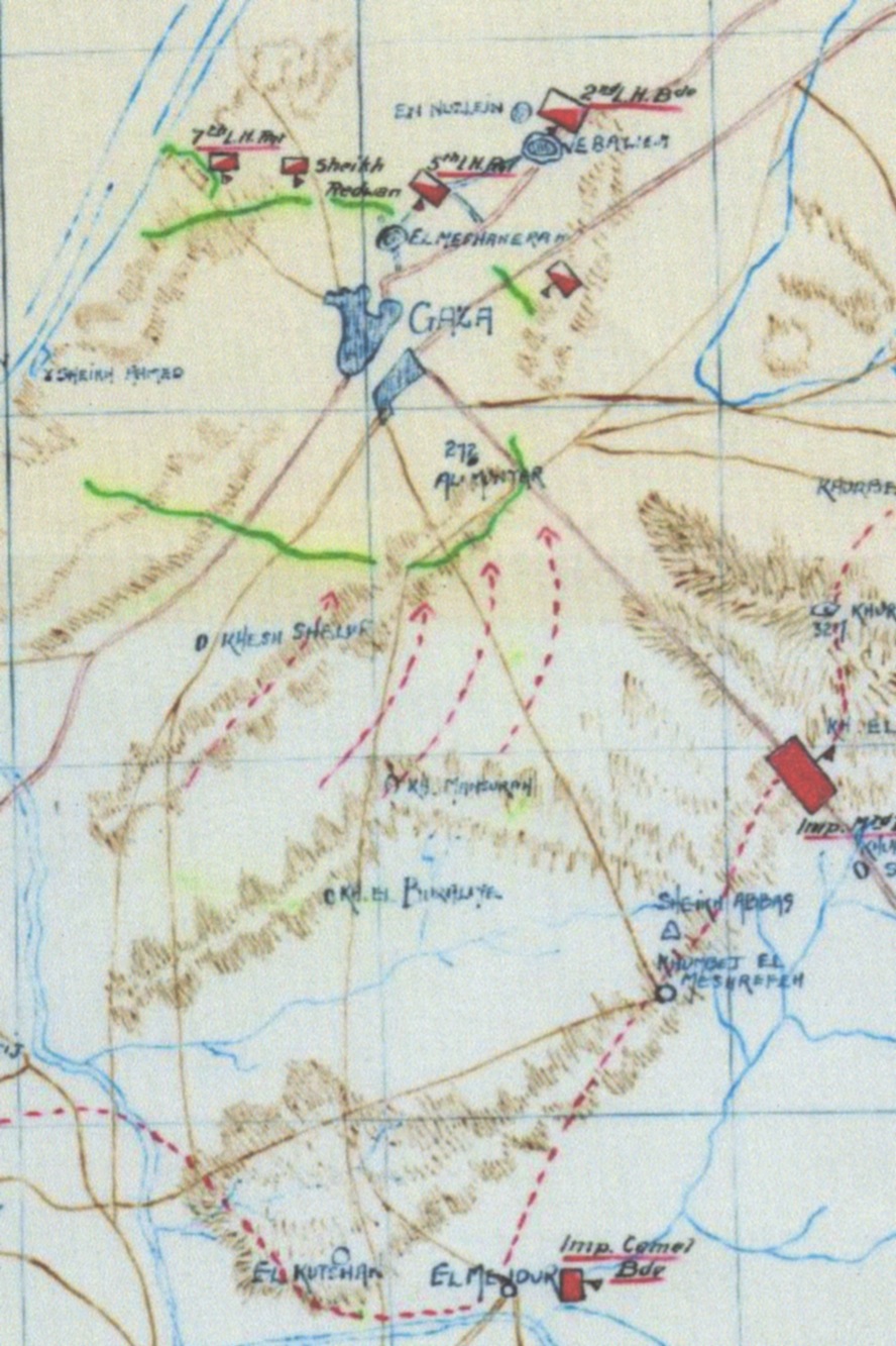
Sketch Map of the 1st Battle of Gaza at 14:00;Other information: Australian Government publication
1917 · Wikimedia Commons

Battle of Rafa map (Powles pp.80-1)
1922 · Wikimedia Commons

AfricaMap4
1942 · Wikimedia Commons