

BAMS Zones of communication
The file shows the world map overlayed with Zone of operation for the Broadcast to Allied Merchant Ships (BAMS) system, across the World. The system was used to communicate official messages to convoys and ensure that it could be done, anywhere in the world.
- Date
- 1944
- Mapmaker / publisher
- United States Navy 1944
- Place
- the world with Mercator projection
- Archive
- Wikimedia Commons
- Type
- map
- Original size
- 1,903 × 1,083 pixels
Public domainsafest
Reason: a US government work (US Navy).
Read from: Commons licence category: PD US Navy; no CC BY, CC BY-SA, GFDL or deletion tag on the file page.
Credit line
"BAMS Zones of communication" (1944). United States Navy 1944, via Wikimedia Commons. Public domain. https://commons.wikimedia.org/wiki/File:BAMS_Zones_of_communication.pngNeed maps for a whole project? Add Find Any Map to Claude and ask for this one by its id: 24722.
More like this

Original caption: Chart of the world showing area covered by present Loran service. These areas will soon be increased by stations now under construction and planned.
1946 · U.S. National Archives

Western Atlantic Defense Zone
1947 · Wikimedia Commons
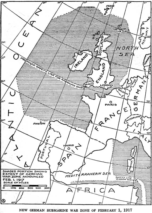
German Submarine War Zone Announced 1 February 1917
1920 · Wikimedia Commons

The world with commanders' areas of responsibility
1996 · 2 sheets

Standard time zones of the world.
2004 · Library of Congress

Standard time zones of the world.
2009 · Library of Congress

Standard time zones of the world.
2006 · Library of Congress

Collier's 1921 World War - German submarine blockade
1921 · Wikimedia Commons