

Azores old map
Sixteenth-century map of Azores. Legend, in Latin: "Has insulas perlustrauit summàque diligentia accuratissimè descripsit et delineauit Ludovicus Teisera Lusitanus, Regiæ Maiestatis cosmographus. ANNO A CHRISTO NATO, M.D.LXXXIIII" ("These islands were illustrated and described with great diligence and drawn by the Portuguese Luís Teixeira, his royal majesty's cartographer, AD 1584.")
- Date
- 1584
- Mapmaker / publisher
- Abraham Ortelius
- Place
- Portugal
- Archive
- Wikimedia Commons
- Type
- map
- Original size
- 2,104 × 1,480 pixels
Public domainsafest
Reason: its maker died more than 100 years ago.
Read from: Commons licence category: PD-old-100-expired; no CC BY, CC BY-SA, GFDL or deletion tag on the file page.
Credit line
"Azores old map" (1584). Abraham Ortelius, via Wikimedia Commons. Public domain. https://commons.wikimedia.org/wiki/File:Azores_old_map.jpgNeed maps for a whole project? Add Find Any Map to Claude and ask for this one by its id: 141638.
More like this

Theatrvm orbis terrarvm.
Wikimedia Commons

Corbitis Atlas (Azores detail)
1384–1410 · Wikimedia Commons

AFR V3 D057 Central Islands of the Azores Archipelago
June 12, 1892 · Wikimedia Commons
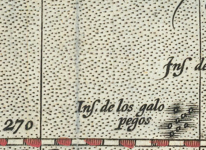
Insulae de los Galopegos
1595 · Wikimedia Commons

A Modern Depiction of Ireland, One of the British Isles
1598 · Wikimedia Commons

Archipelagus atlanticus cum suis insulis Canariis, Hesperidibus et Azoribus
1600–1699 · Wikimedia Commons

AFR V3 D040 Volcanic Axis of the Azores
June 12, 1892 · Wikimedia Commons

Mapa de las islas de Taiwán (Hermosa o Formosa) y Luzón y costa de la China cercana. 01
16th century · Wikimedia Commons