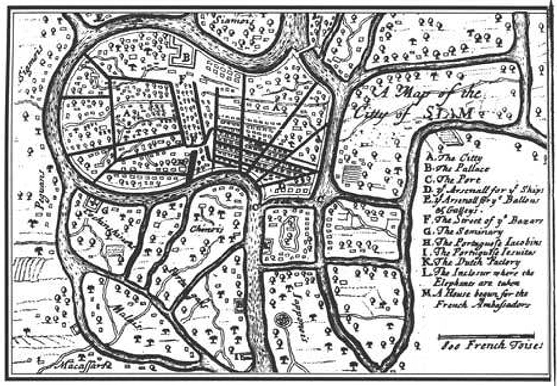

Ayutthaya 17th century
17th century map of Ayutthaya — the capitol city (1350-1767) of the Siamese Ayutthaya Kingdom.
- Date
- 1691
- Mapmaker / publisher
- Simon de La Loubère (1642-1729)
- Place
- Thailand
- Archive
- Wikimedia Commons
- Type
- map
- Original size
- 1,123 × 778 pixels
Public domainsafest
Reason: its maker died more than 100 years ago.
Read from: Commons licence category: PD-old-100-expired; no CC BY, CC BY-SA, GFDL or deletion tag on the file page.
Credit line
"Ayutthaya 17th century" (1691). Simon de La Loubère (1642-1729), via Wikimedia Commons. Public domain. https://commons.wikimedia.org/wiki/File:Ayutthaya_17th_century.jpgNeed maps for a whole project? Add Find Any Map to Claude and ask for this one by its id: 240437.
More like this

Ayutthaya City Map (Siam) by Loubere 1691
1691–1693 · Wikimedia Commons

View of Iudea (Ayutthaya), Capital of Siam ca. 1662 (SK-A-4477)
1662–1663 · Wikimedia Commons

Bird's eye view of the city of Iudiad
c. 1665 · Wikimedia Commons

Kingdom of Siam Map (Thailand) in 1693 by Loubere
1693 · Wikimedia Commons

Map of Thailand and Cambodia
1690–1743 · Wikimedia Commons

Gezicht op Iudea, de hoofdstad van Siam
1662–1663 · Gezicht op Iudea Ayutthaya

Carte du royaume de Siam et des pays circonvoisins 1686
1686 · Wikimedia Commons

Bird's eye view of the city of Iudia
c. 1665 · Wikimedia Commons